Ruth E. Dickinson

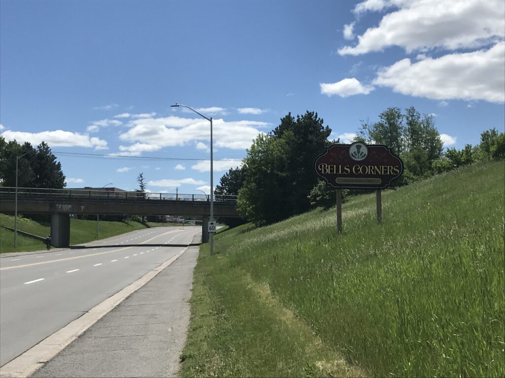
On my short staycation, I’ve been enjoying a routine of quiet mornings at home followed by slightly more energetic afternoons. After Sunday’s successful venture into the greenbelt to see Bells Corners, I was very eager to head back out and try a new direction. Southward to Barrhaven it was!

While I normally prefer circular routes, I was eager to complete this ride before supper time and opted to head out and return along the same route. From my home in Central Park, I cruised through a very empty Agriculture and Agri-Food Canada campus, crossed Baseline Road at the Loblaws Plaza and made a beeline for the Nepean Trail. This route has quickly become one of my favourites for bypassing traffic along the Merivale triangle and main strip. It follows quiet residential streets and includes shared pathways running behind the commercial buildings on Merivale.

View of the pathway entrance at the end of Birchview Drive. This route bypasses the traffic along Merivale Road.

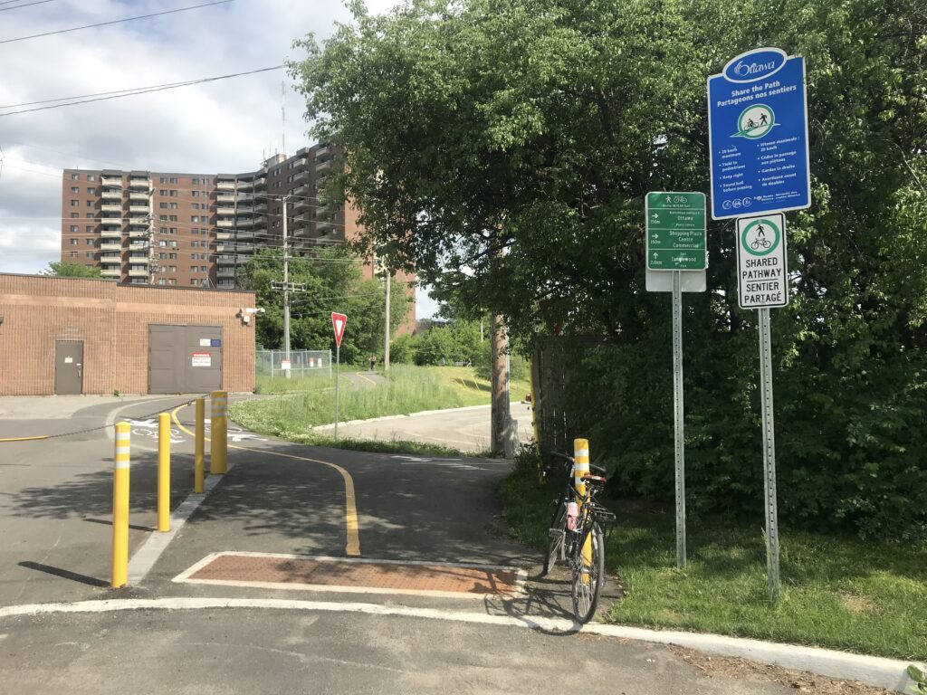
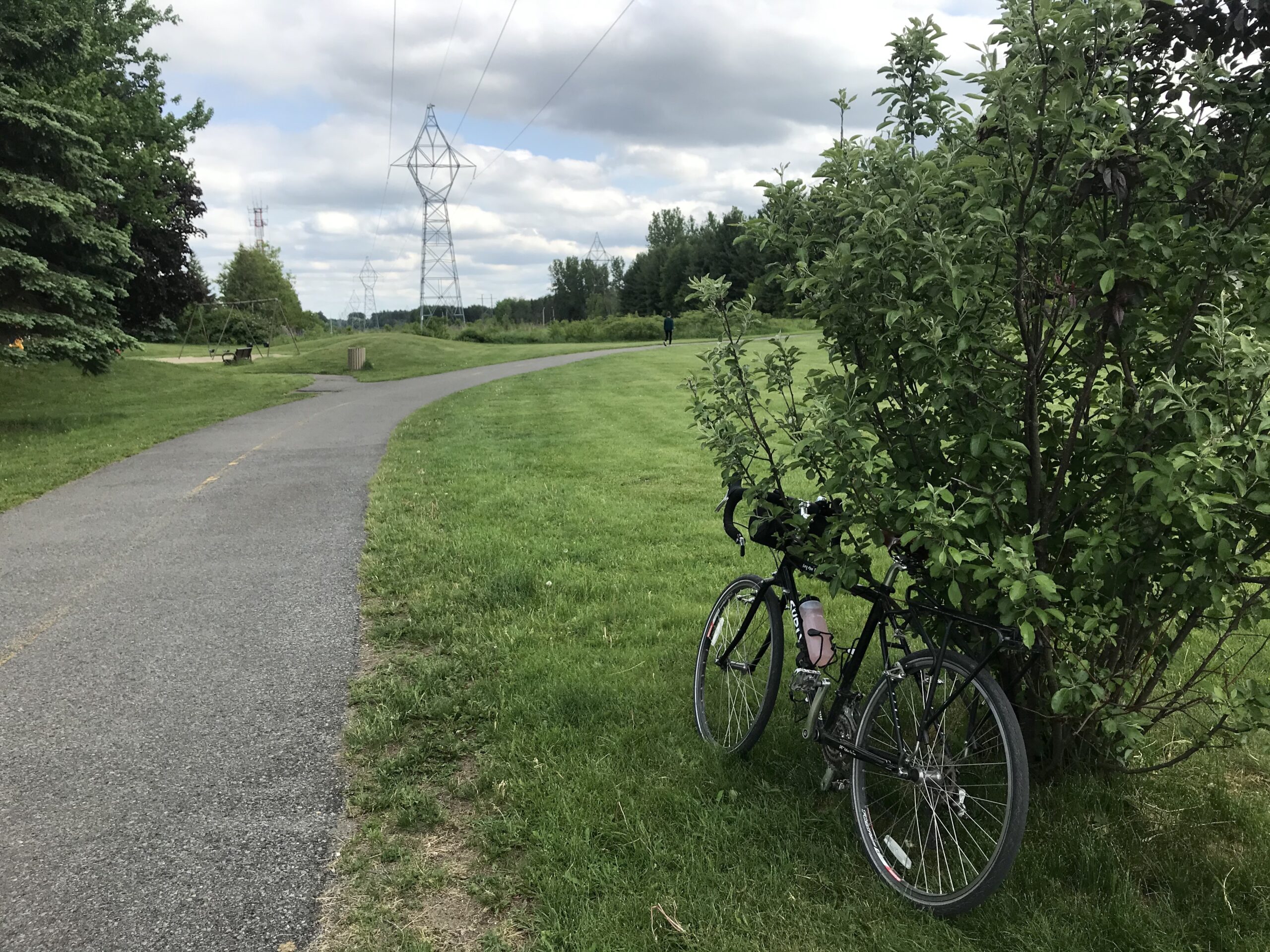
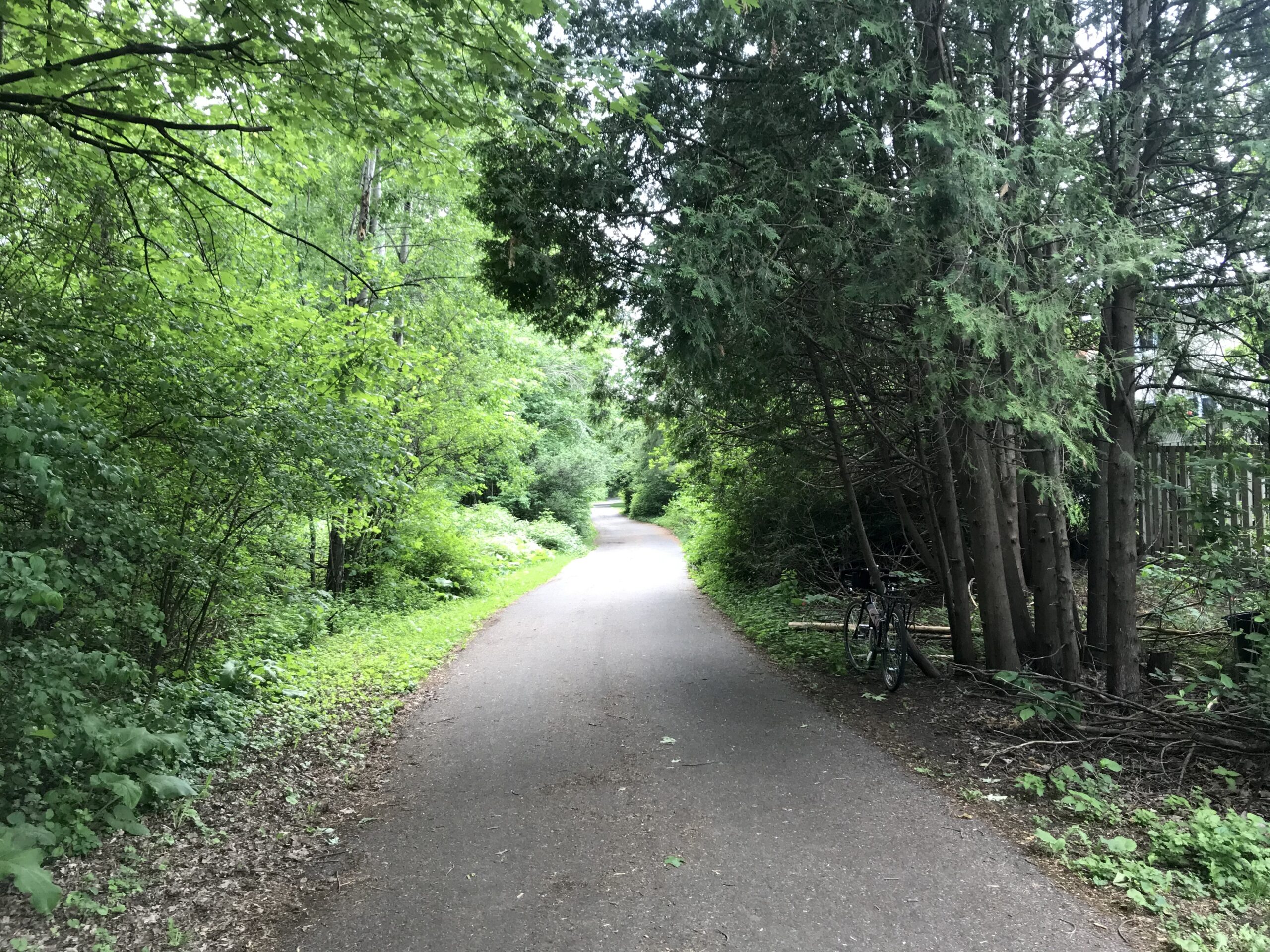
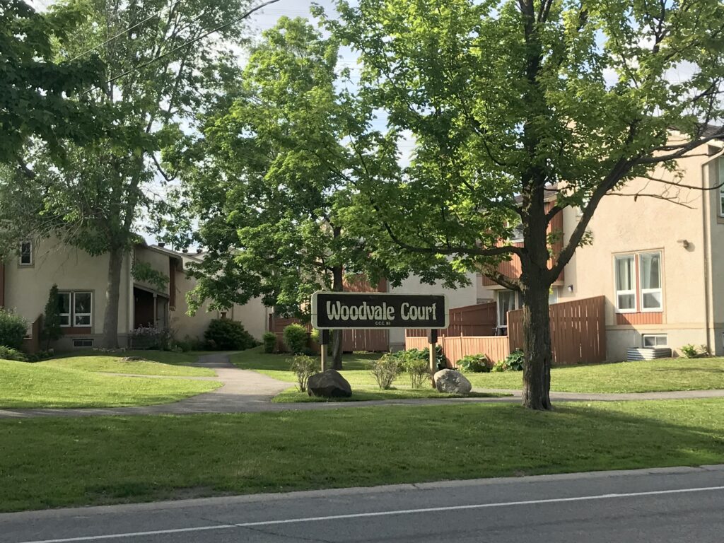
I emerged from the pathway on Colonnade Road, crossed Merivale and made a quick turn onto Woodfield Drive to connect on to the pathway at Tanglewood Park. Many people were taking advantage of the gradual lifting of restrictions on park activities and enjoying tennis and basketball. The pathway leading from Tanglewood Park passes behind the houses on Downsview Crescent and Benlea Drive. The trees along the path were very lush and I found myself thinking I’d uncovered a secret garden in the city.

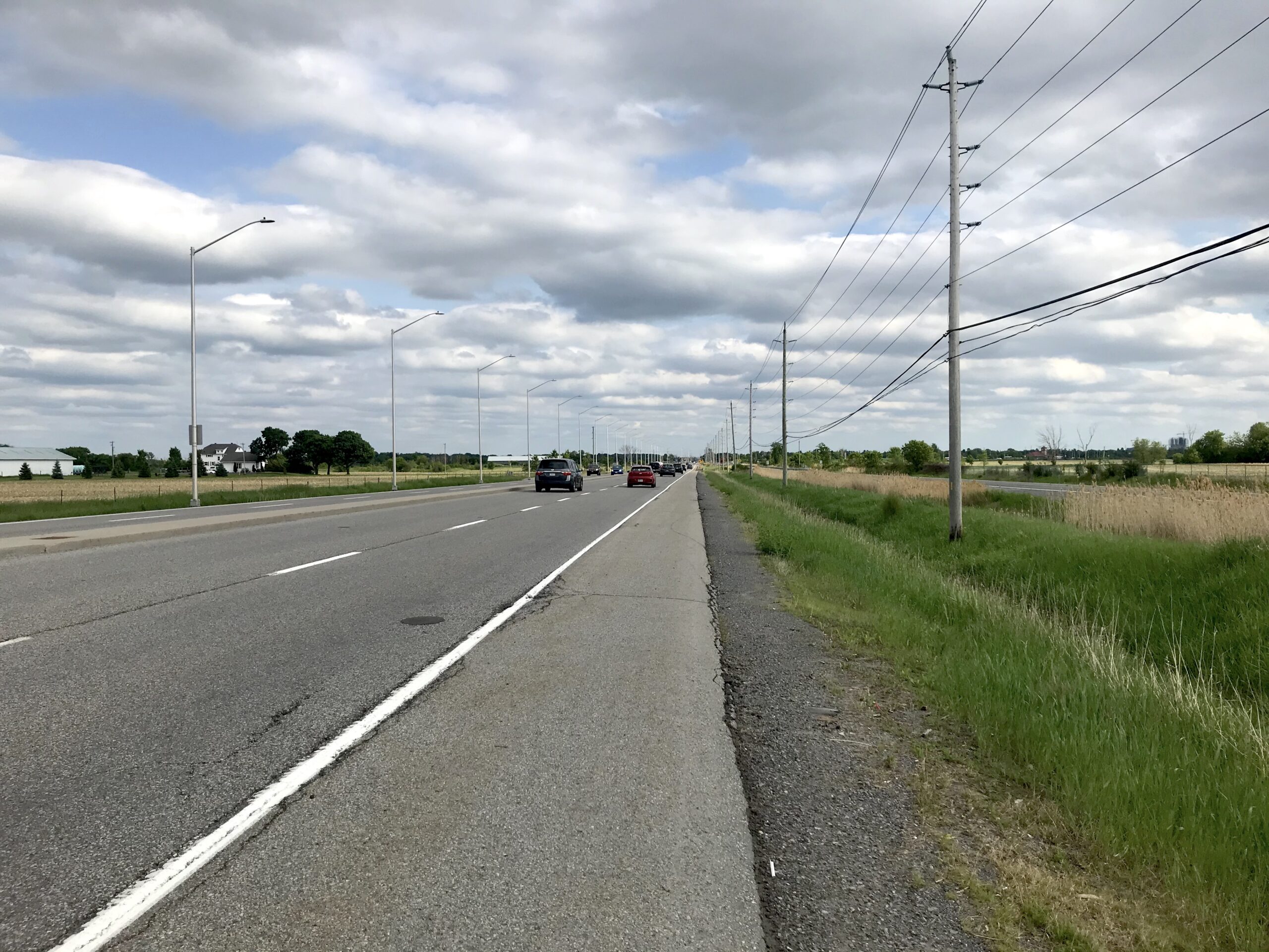
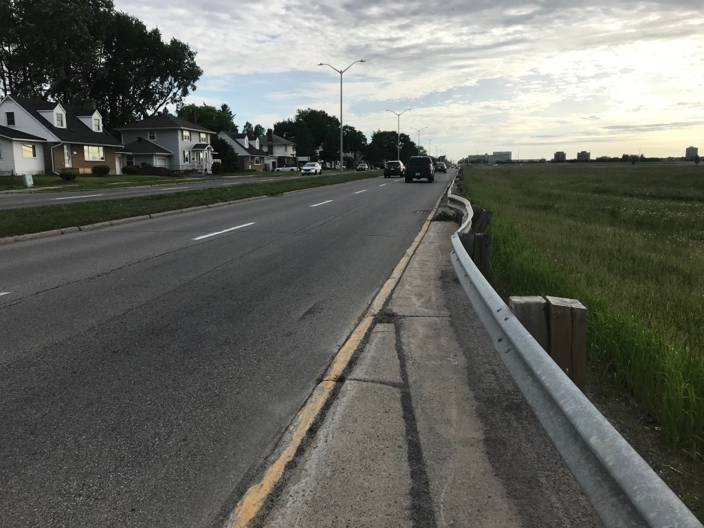
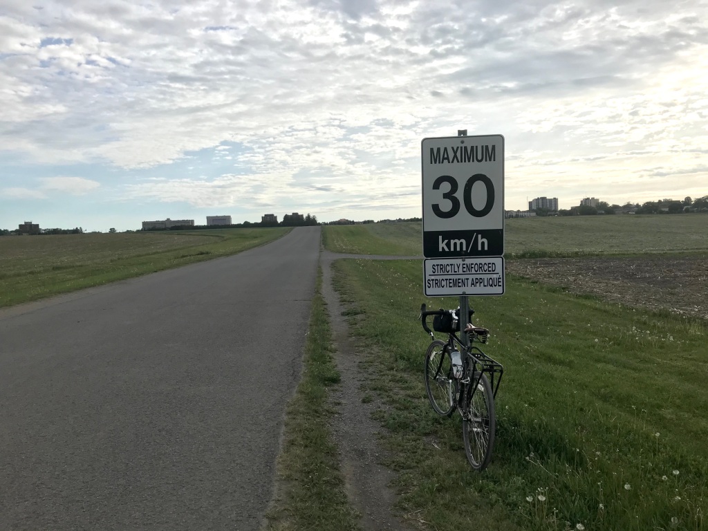
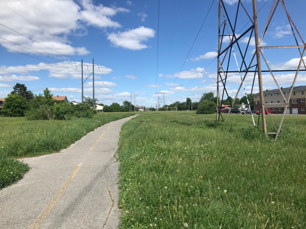
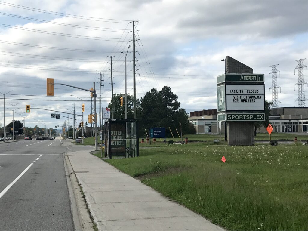
From the lush pathway, I made a left turn onto busy West Hunt Club Road, where there are bike lanes running along both sides of the road. I turned left at the intersection to turn south onto Woodroffe Avenue and begin my journey into the greenbelt. Much like on West Hunt Club, I felt relatively safe riding along the Woodroffe bike lanes, though cyclists might prefer the multi-use path on the eastern side of the road. Before I knew it, I was out of the greenbelt and approaching Barrhaven near Fallowfield Station.

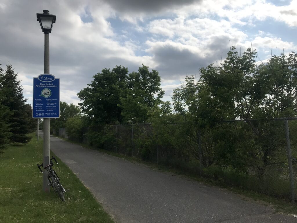
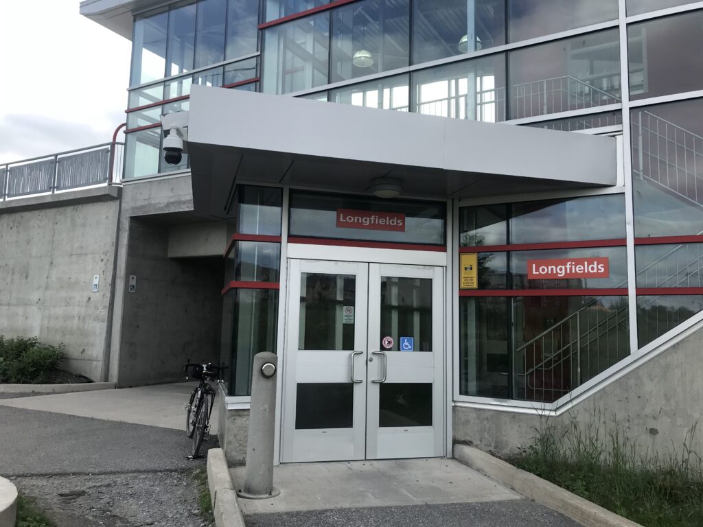
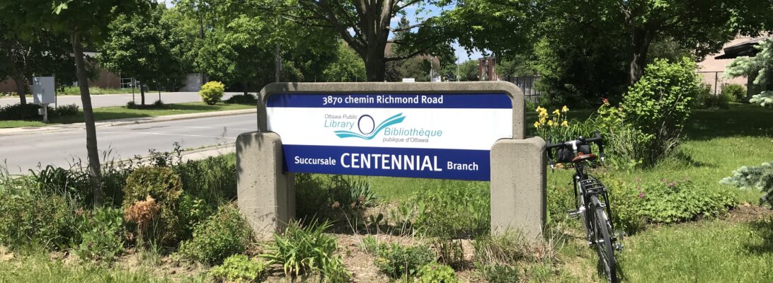
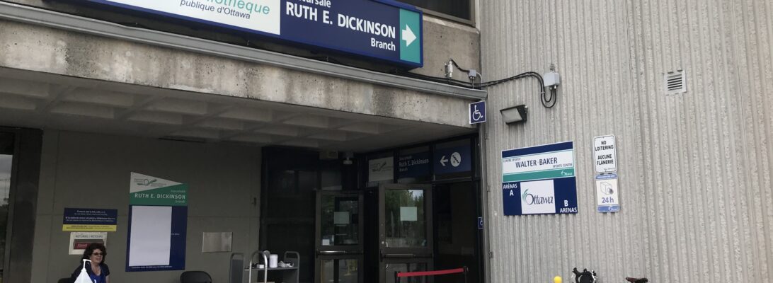
At Fallowfield Road, I turned right and proceeded along the road past the Park-and-Ride, then crossed at the intersection to join a pathway that runs along the southern side of Fallowfield Road, then dips southwest along the rail line and Transitway. This path runs through a few new developments, and many families were out and about on scooters and bikes. At Longfields Station, I turned right to pass under the station and shortly emerged on Holitman Drive, then Foxfield Drive, and finally Malvern Drive, where Ruth E. Dickinson Branch is located.

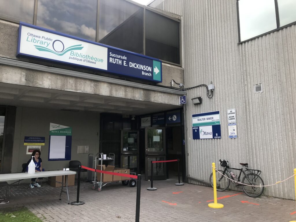
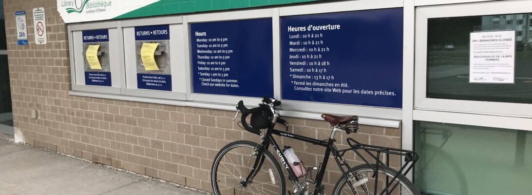
I pulled up to the library and had a nice chat with the two employees overseeing the outdoor returns area as they gracefully allowed me to take photos. We speculated that Fitzroy Harbour is going to be my biggest challenge for the project, “but at least there’s camping”.

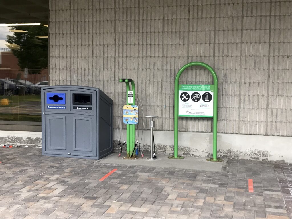
Masked customers were pulling up and dropping off materials that had been out on loan since mid-March. Once dropped in the boxes, the items will be held for a 72 hour quarantine period. The library is co-located with the Walter Baker Sports Centre and John McCrae Secondary School, and I was glad to spot another bike repair station near the entrance.

After saying my farewells, I hopped back on the bike and headed home along the same route. I’m feeling optimistic today — I arrived home feeling like I could have cycled a bit further, and am more confident that I’ll be able to complete this challenge as intended.

Three branches down, 30 to go!

Greenboro

I’m on holiday this week, which means that while I would normally be stuck at home glued to my inbox, I’m now stuck at home and able to spend the day taking care of odd jobs. Today’s to-do list included installing two dimmer switches and painting a powder room ceiling. By late afternoon, I was eager to get out and check off another branch on the list.

I have an online map of all of the branches and the distances to each, based on the most direct driving route (did I mention that I used to be a GIS librarian?). It was nearing supper time, so I chose a branch that was close-ish to home and along a route I’d never cycled. Onward to Greenboro!

There’s a big construction project underway to rehabilitate both the Hog’s Back Dam and fixed bridge, so I walked my bike up a temporary wooden ramp and bridge over the canal. Riders are also asked to keep walking their bikes along the sidewalk detour over the river. This was pretty easy and gave me a good excuse to slow down and enjoy the view over the falls.

After passing the construction, I hopped back on the bike at Mooney’s Bay and continued along to Brookfield Road. At the roundabout just past Brookfield High School, it’s possible to hop onto a short path that passes under the Airport Parkway to the Sawmill Creek pathway.

The Sawmill Creek Pathway meanders south between the Airport Parkway and Transitway. Along the way, I passed Heron Station (very quiet, even at “rush hour”, thanks to COVID-19) and then biked under the much-beleaguered Juno Beach Memorial Bridge before turning toward South Keys. There’s a lot of construction happening at South Keys for the Trillium Line Extension, but it was easy enough to walk my bike through the bus station and out into the parking lot beside Walmart.

From the South Keys plaza, I proceeded east along Dazé Street, then crossed Bank Street to continue along Cahill Drive. Greenboro is a largely residential area, and I had plenty of space to ride my bike through the neighbourhood before joining the pathway through Greenboro Park. After that, it was a quick left turn to arrive at the library, which is co-located with a community centre. Success!

Greenboro is one of the six OPL branches that will be opening for curbside pickup later this month. I didn’t go in, but this was apparently the first day that items could be returned since libraries closed in mid-March. After snapping some pictures, I turned around and retraced my route back through the park, and up the Sawmill Creek Pathway to Brookfield.

For variety’s sake, I chose to bike north on Riverside Drive (busy, but there was enough space in the median to feel relatively safe). When I arrived at Heron Road, I took a left turn and cycled in the bus/bike lanes past Vincent Massey Park. Once I passed Prince of Wales Drive, I was back to my old nemesis, Baseline Road, which is absolutely terrifying to cycle. There are no bike lanes, no medians, no entrances to the farm, and no sidewalks on the north side of the road. I white-knuckled it to Fisher Ave, then turned onto McCooey Lane to head back home through the Central Experimental Farm.

Two branches down, 31 to go.

Centennial

I’ve been having a hard time unplugging this spring. The coronavirus-induced extended work from home situation hasn’t been kind to my brain or to my body. One thing that tends to lift my spirits is time outside, and I’ve been going for more and more bike rides to break out of my home-based routine. On one of those rides, as I meandered in the residential neighbourhood behind my local library branch, an idea emerged. This blog is the result.

It was a sunny Sunday afternoon in June, and I was keen to get started on my first official “Tour de Branch” ride. Why Bells Corners? Frankly, I was a little afraid to venture out beyond the greenbelt without a practice run, and Centennial Branch is a great “en route to Kanata” destination.

The ride started out well enough, from my home in Central Park along the Experimental Farm Pathway, which took a few twists and turns before spitting me out on busy Baseline Road at Woodroffe Ave. Baseline is a scary arterial road without many bike lanes, so I spent a few heart-pounding minutes riding along the edge of the road until a bike lane mercifully appeared at Greenbank Road. This continued for a stretch until Baseline ends just past the Queensway Carleton Hospital, when the lane disappears during the left-hand turn onto Robertson Road.

I rolled into Bells Corners along Robertson Road, which is a major commercial strip and not particularly bike-friendly. Many of the cyclists were up on the sidewalk. I do not blame them.

At Lynhar Road, I turned left and ventured into a residential neighbourhood. Families were outside enjoying the sunny weather, and I could smell BBQ. I felt much better riding along these streets and made it to Centennial Branch on Old Richmond Road in no time.

The branch itself was closed (it’s always closed on Sundays, but especially closed right now due to COVID-19). I was glad to spot a bike rack in the parking lot. I made a mental note to plan a return trip once things open up again.

From the library, I made a quick pit stop over to Dairy Queen on Robertson Road for a sundae break, as you do. Then it was back to the residential neighbourhood to learn about a second route option for returning home.

From Stinson Avenue, I rode to Bell High School (which has a greenhouse!) and then past the Bell Centennial Arena to meet up with Bruin Road and cross Highway 416. Note to self: Find out about Mr. Bell, Mr. Bell’s various corners, and how this area got so lucky with centennial projects in 1967.

I was delighted to find a newly resurfaced bike path running along this portion of Cedarview Road. Before long, I was on the pea gravel-covered pathway running along the perimeter of Bruce Pit.

At the end of the path, I rode briefly along McClellan Road before turning onto a hydro line pathway running through Trend-Arlington Park and Craig Henry. I eventually emerged on Merivale, another busy thoroughfare that I was not confident about. Fortunately, a bike path brought me to Colonnade Road, then along the Nepean Trail on Grant Carmen Drive behind the commercial strips. From there, I wiggled through a residential neighbourhood and made it home safely.

One branch down, 32 to go.