North Gower

[ This is part three of a three part series of my weekend bike tour to Manotick, Osgoode and North Gower. ]

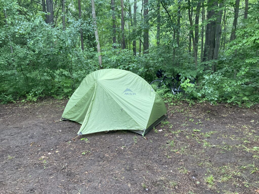
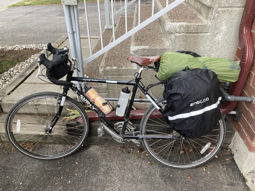
Sunrise came early to my little campsite (late June will do that), so I was able to pack up and head out before most campers emerged from their tents and RVs.

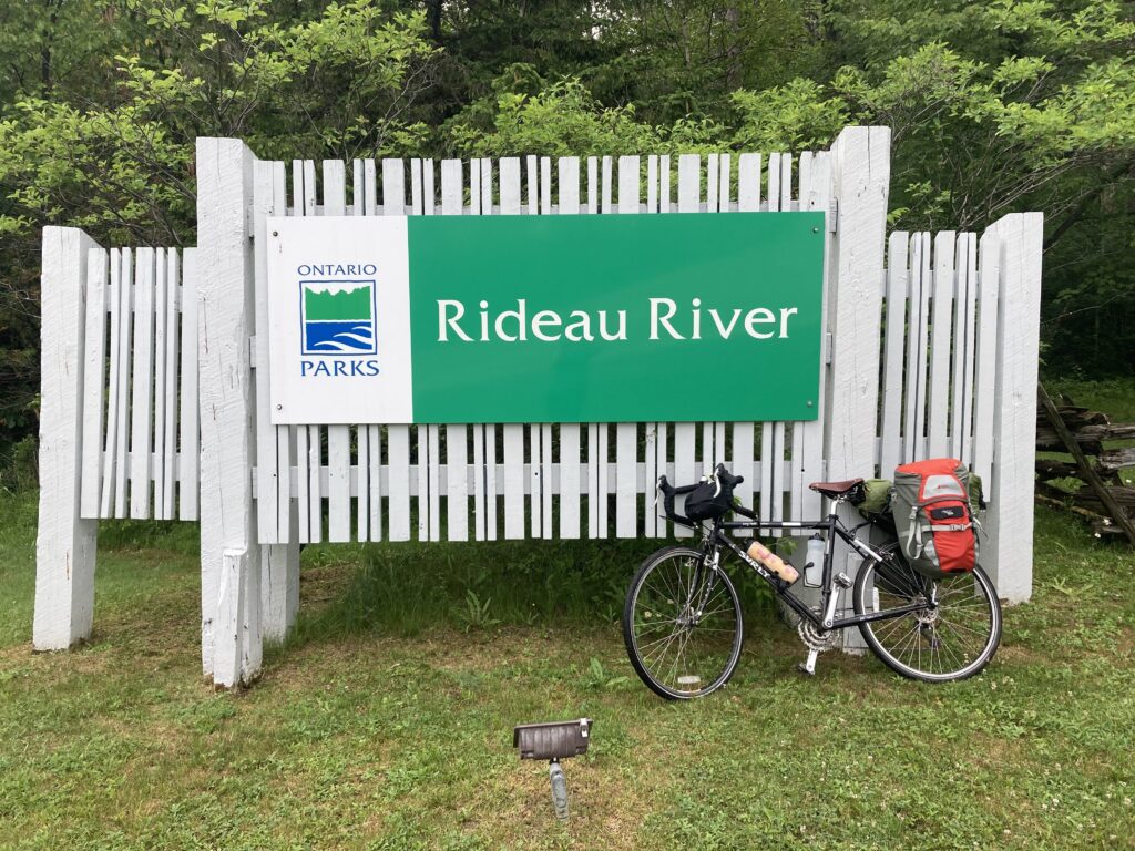
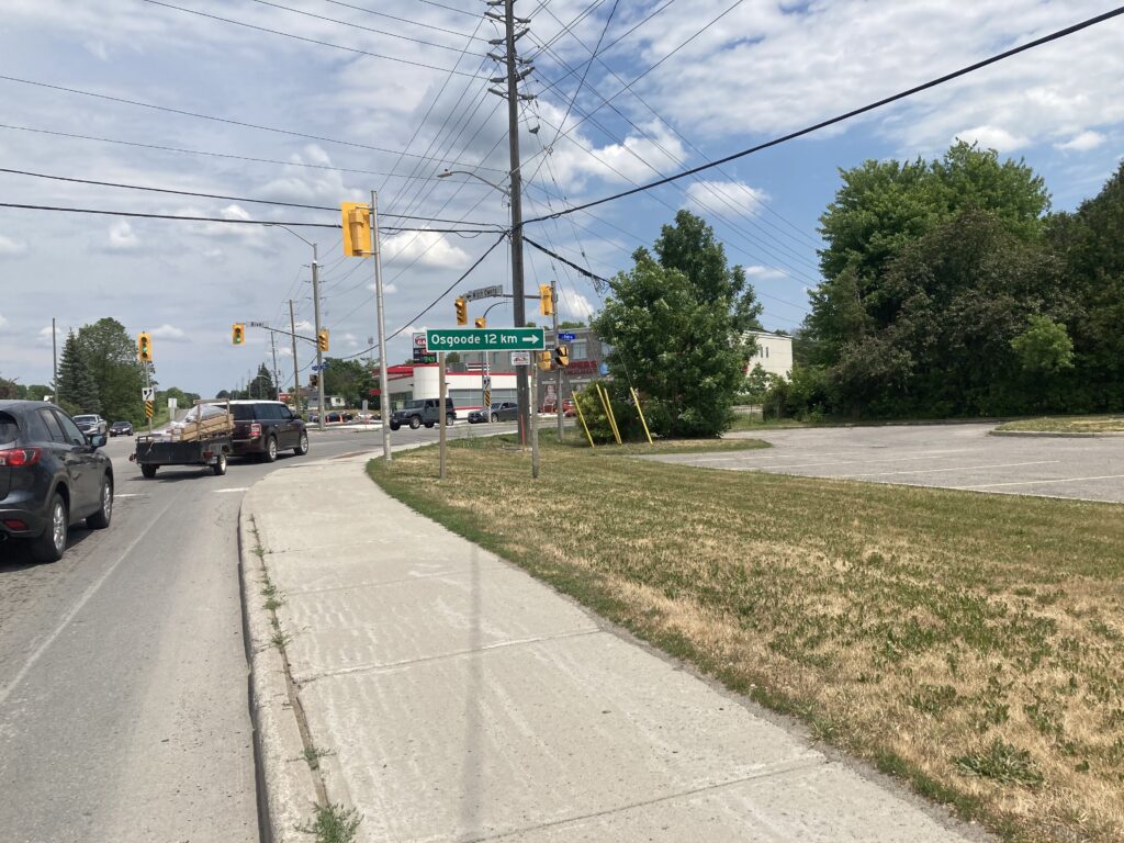
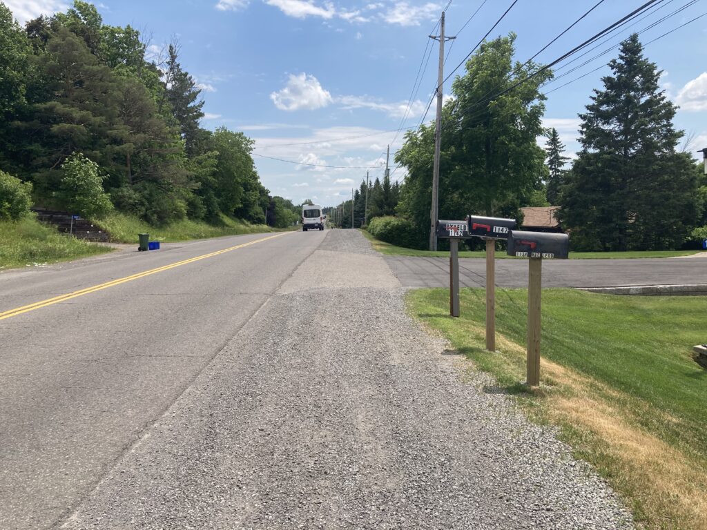
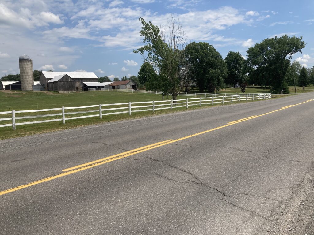
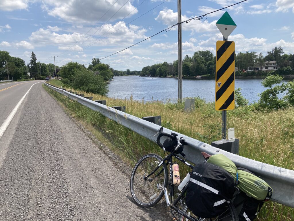
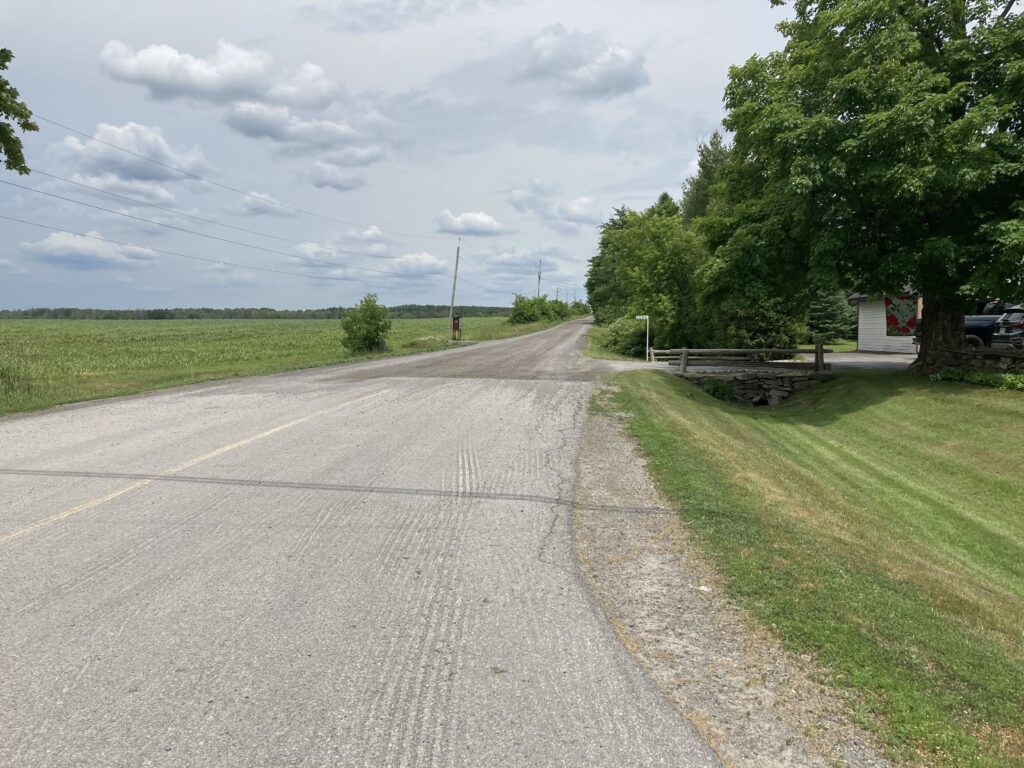
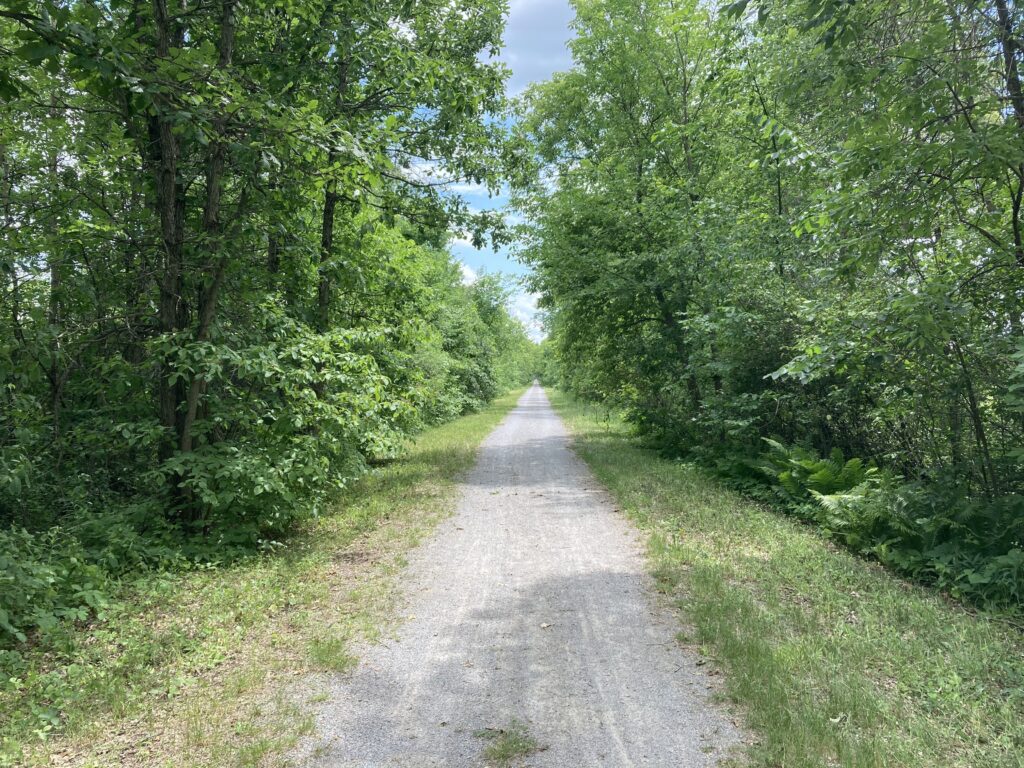
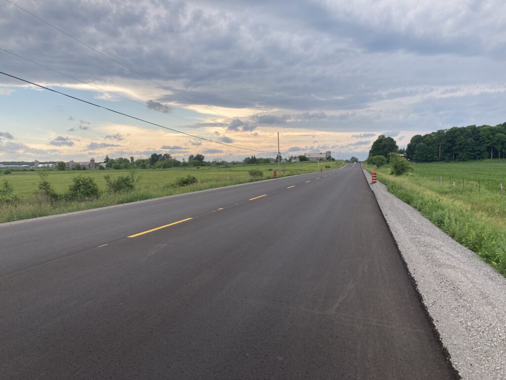
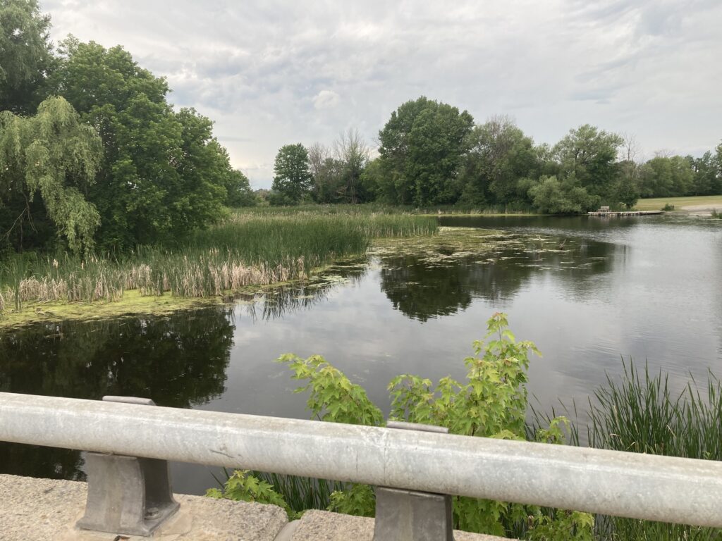
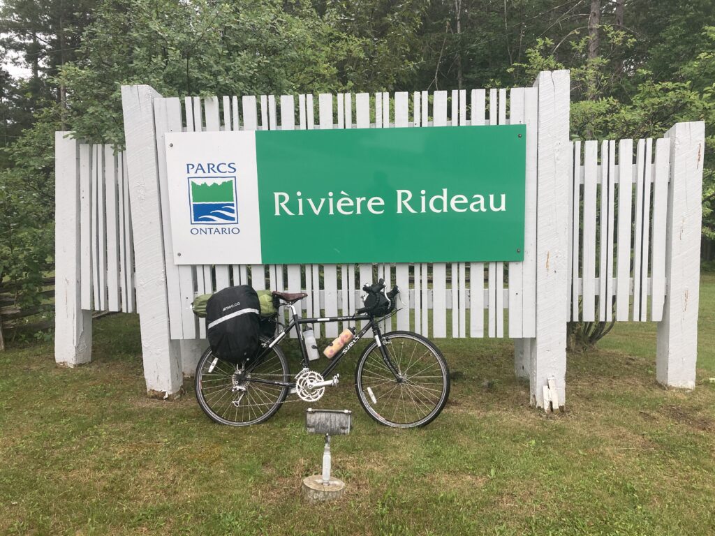
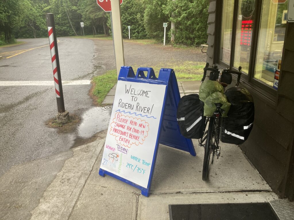
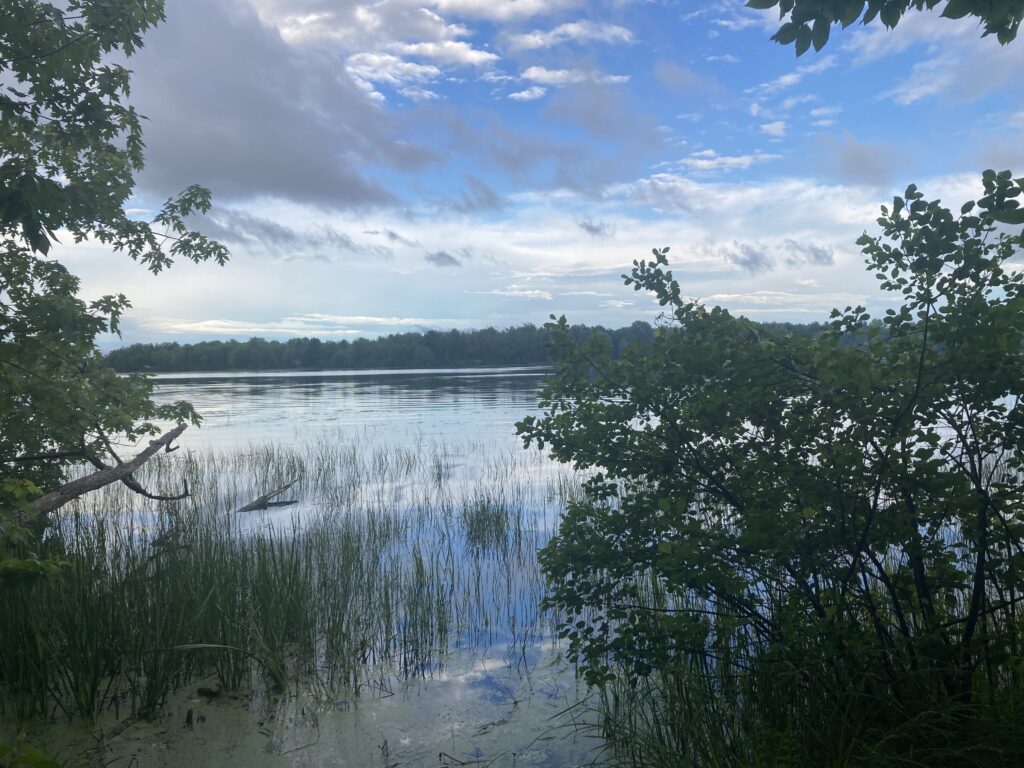
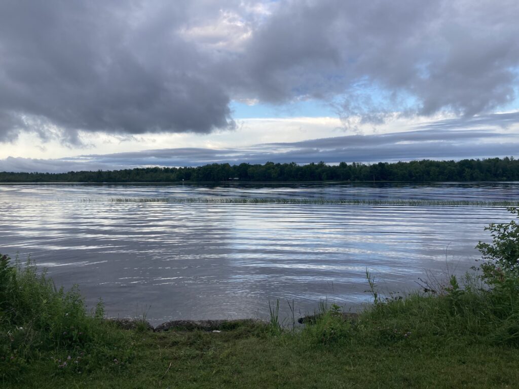
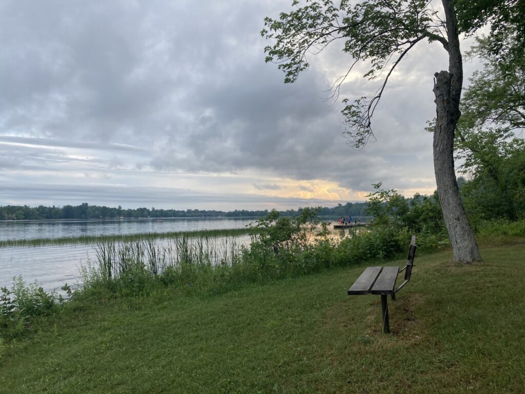
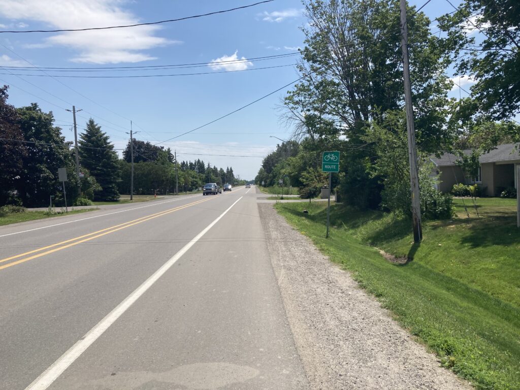
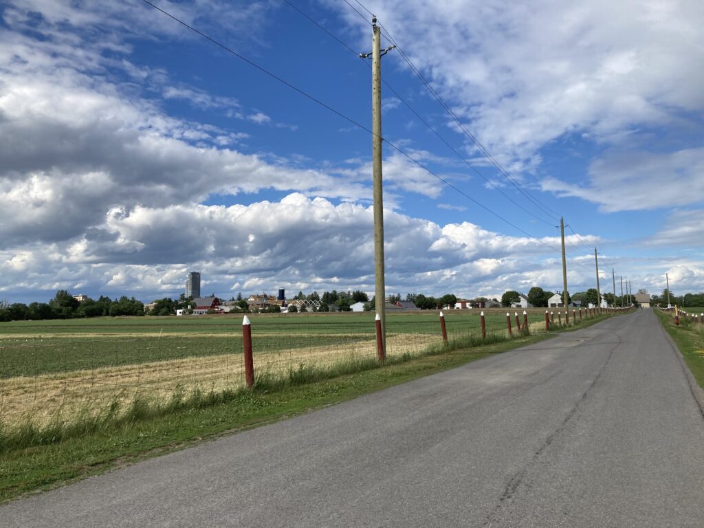
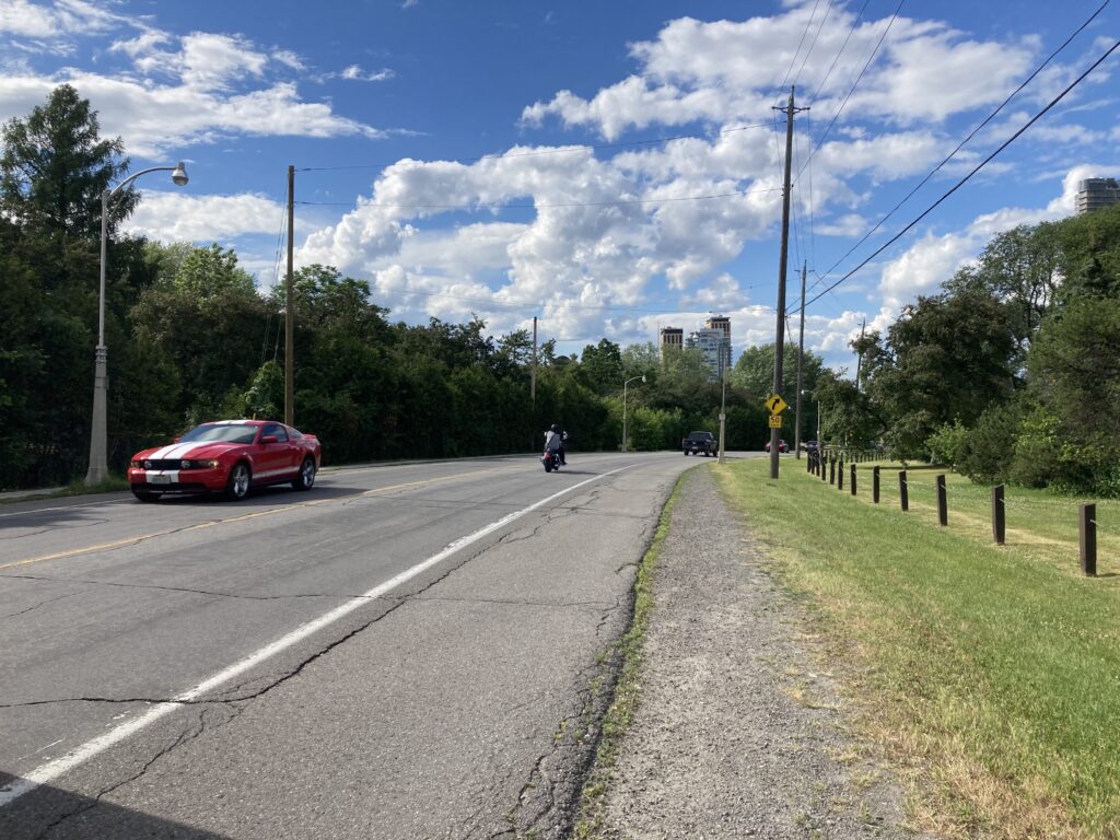
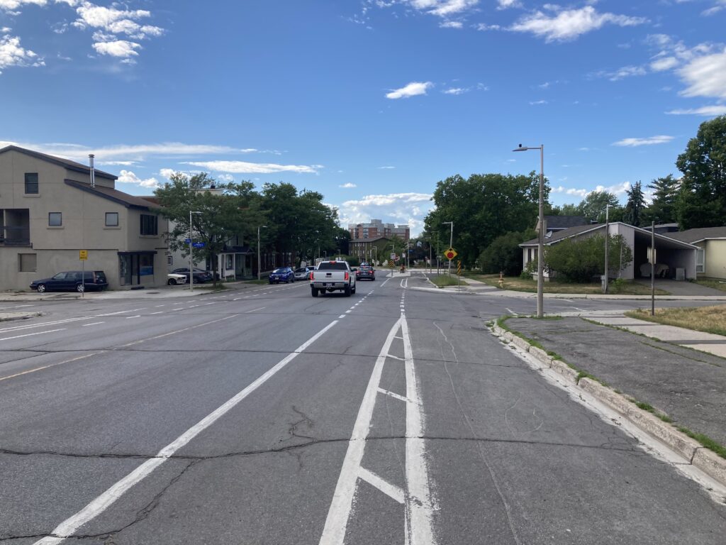
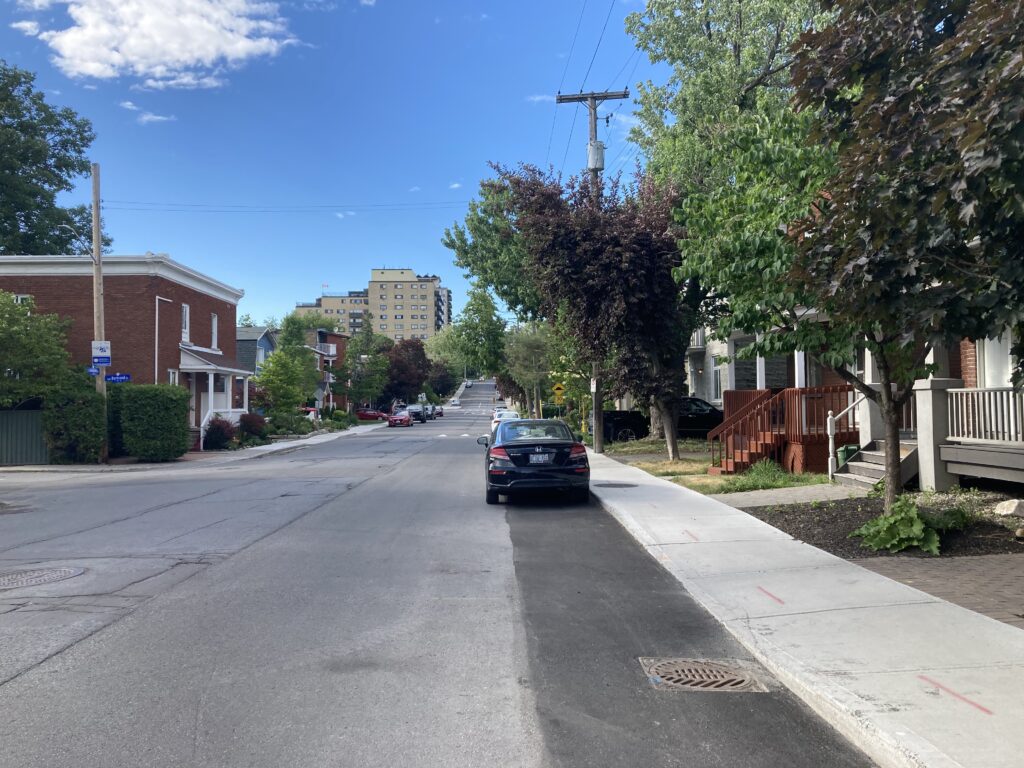
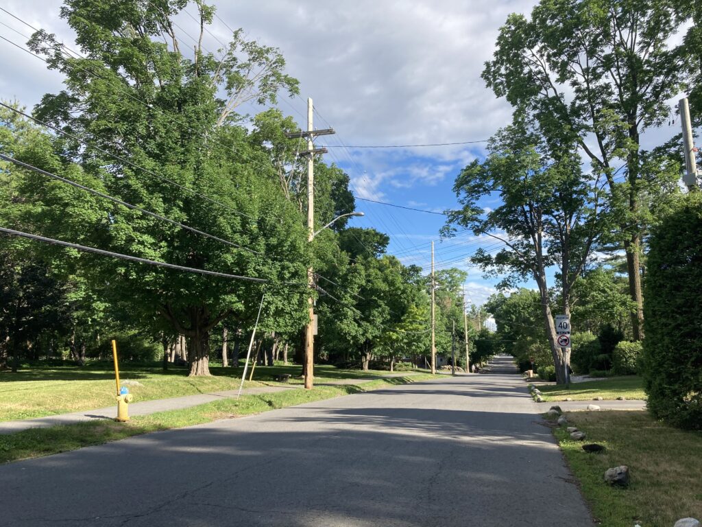
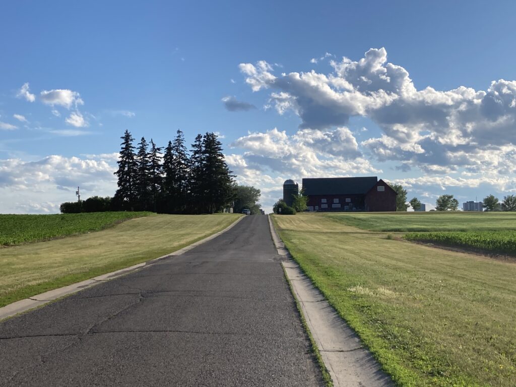
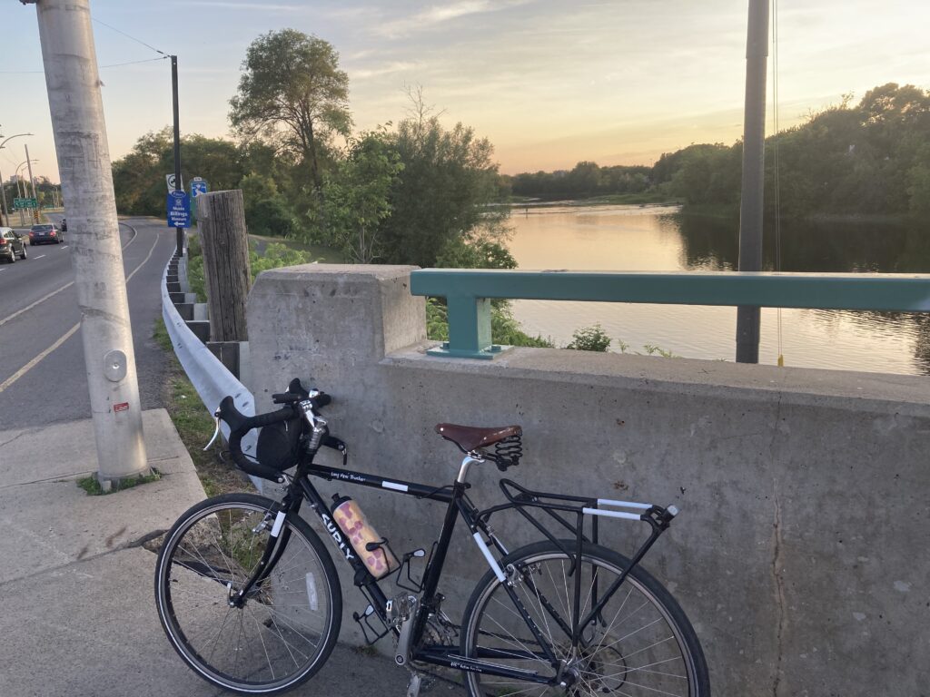
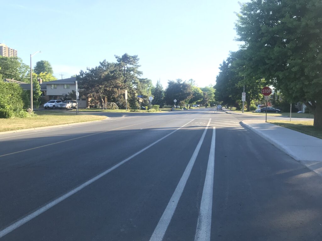
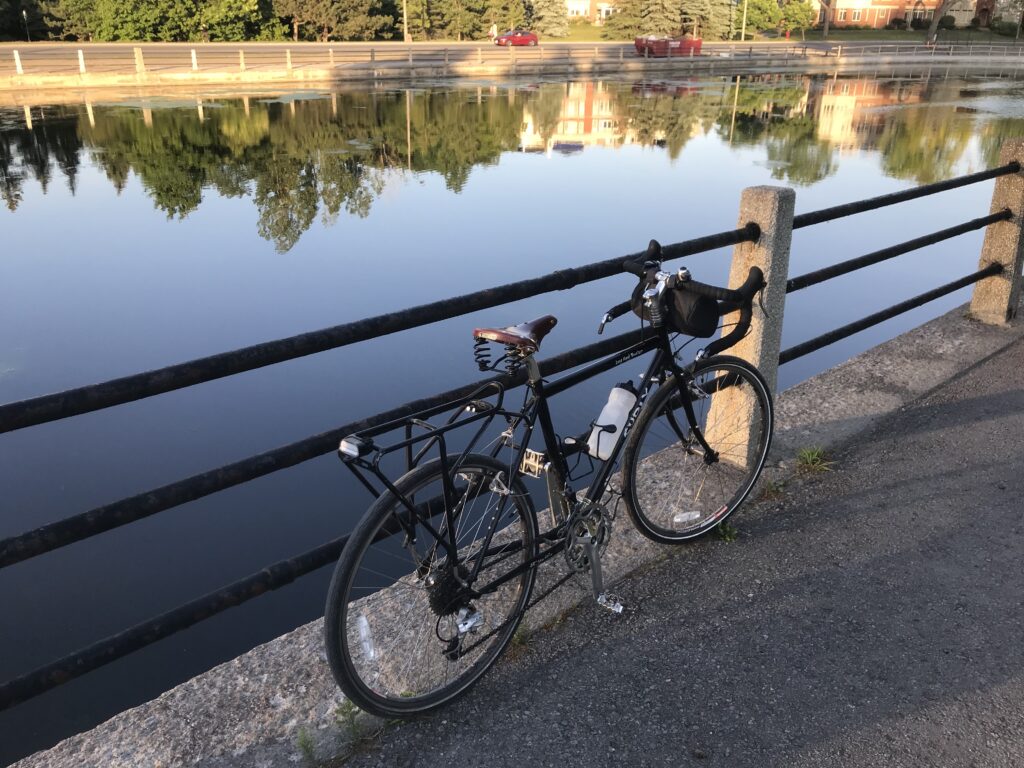
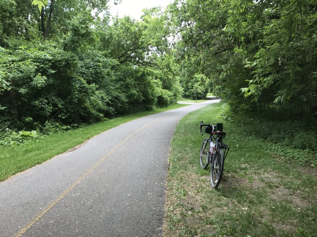
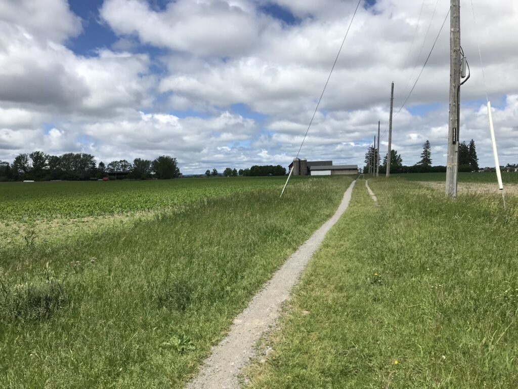
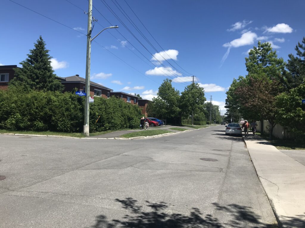
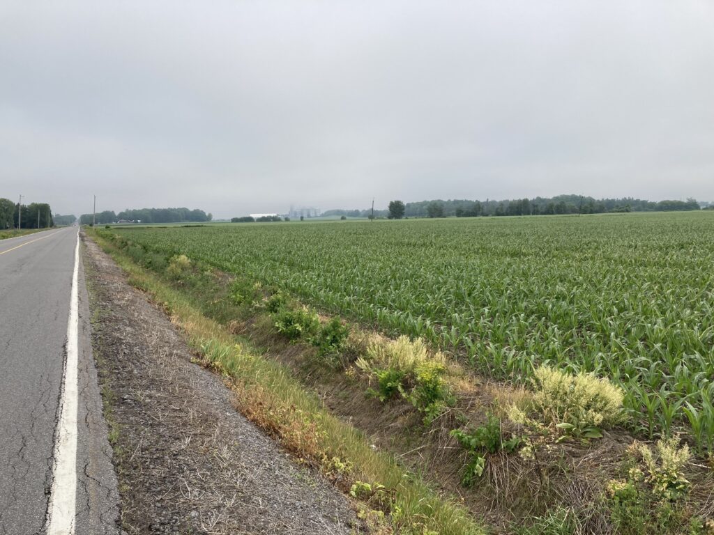
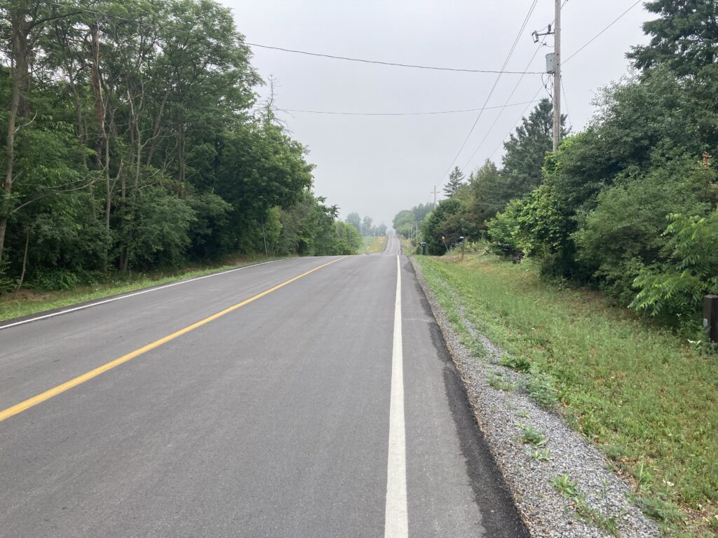
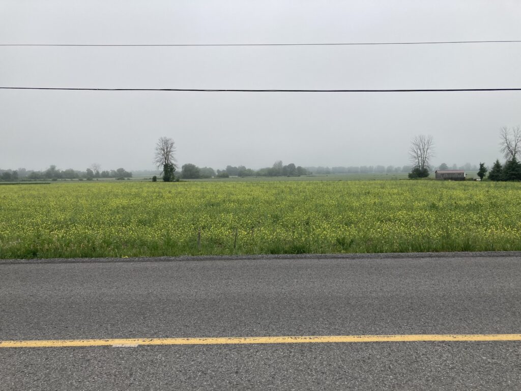
I rolled out of Rideau River Provincial Park and headed for North Gower along McCordick Road. There were some gentle hills along this route, and very little traffic early on Sunday morning. I really enjoyed this portion of the trip, which coincided with several cyclists’ morning rides.

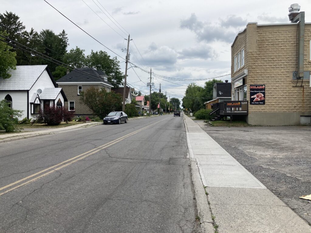
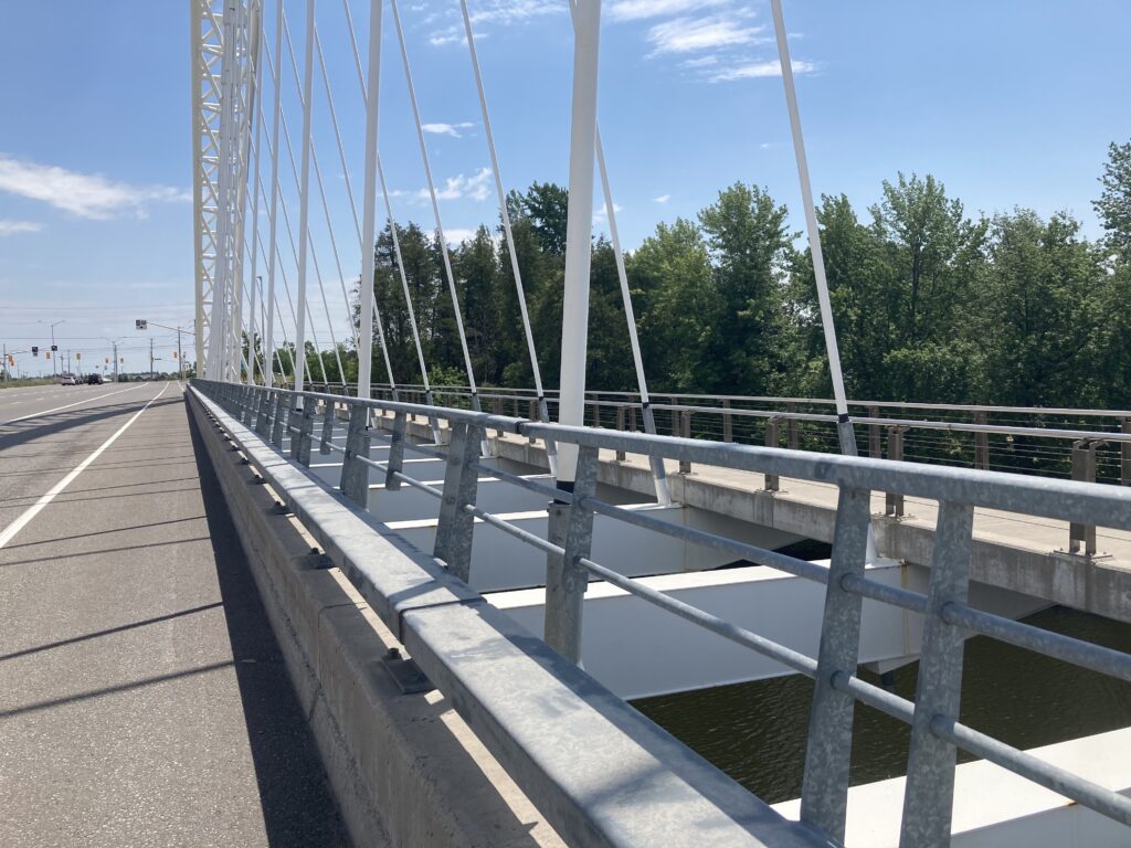
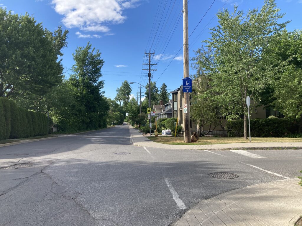
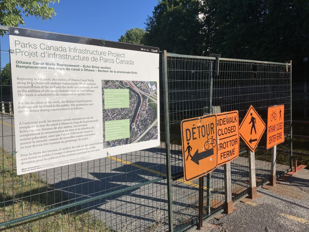
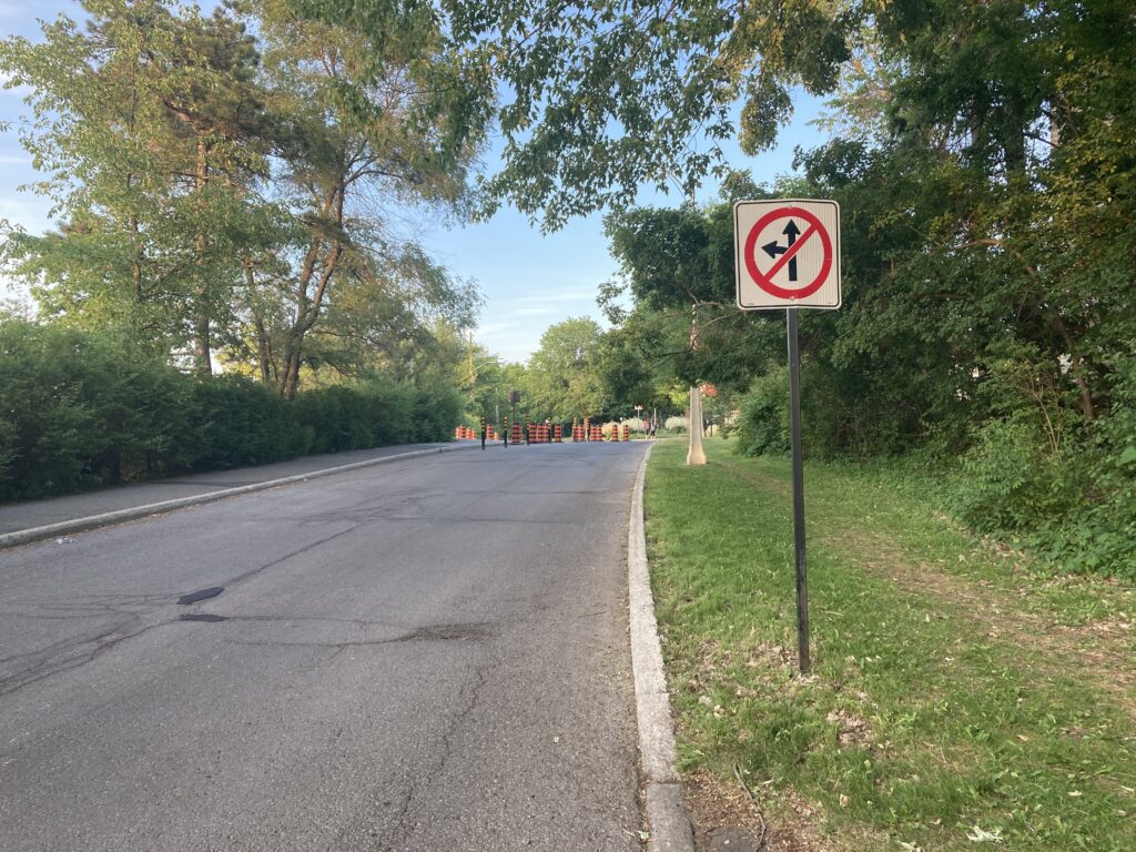
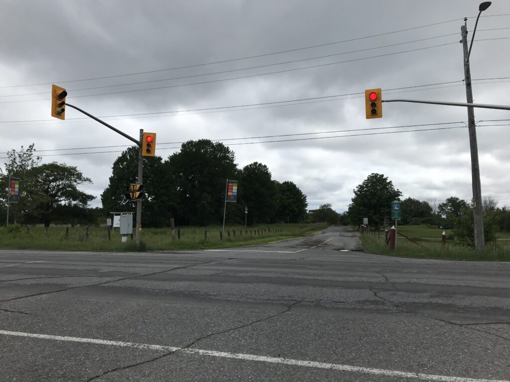
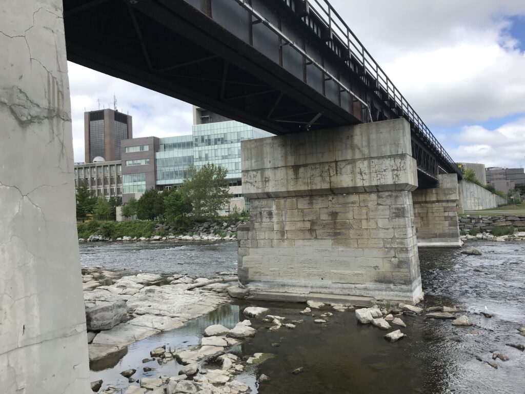
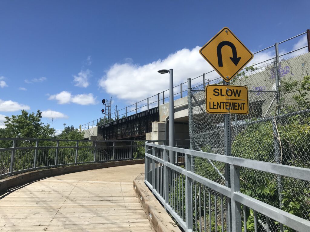
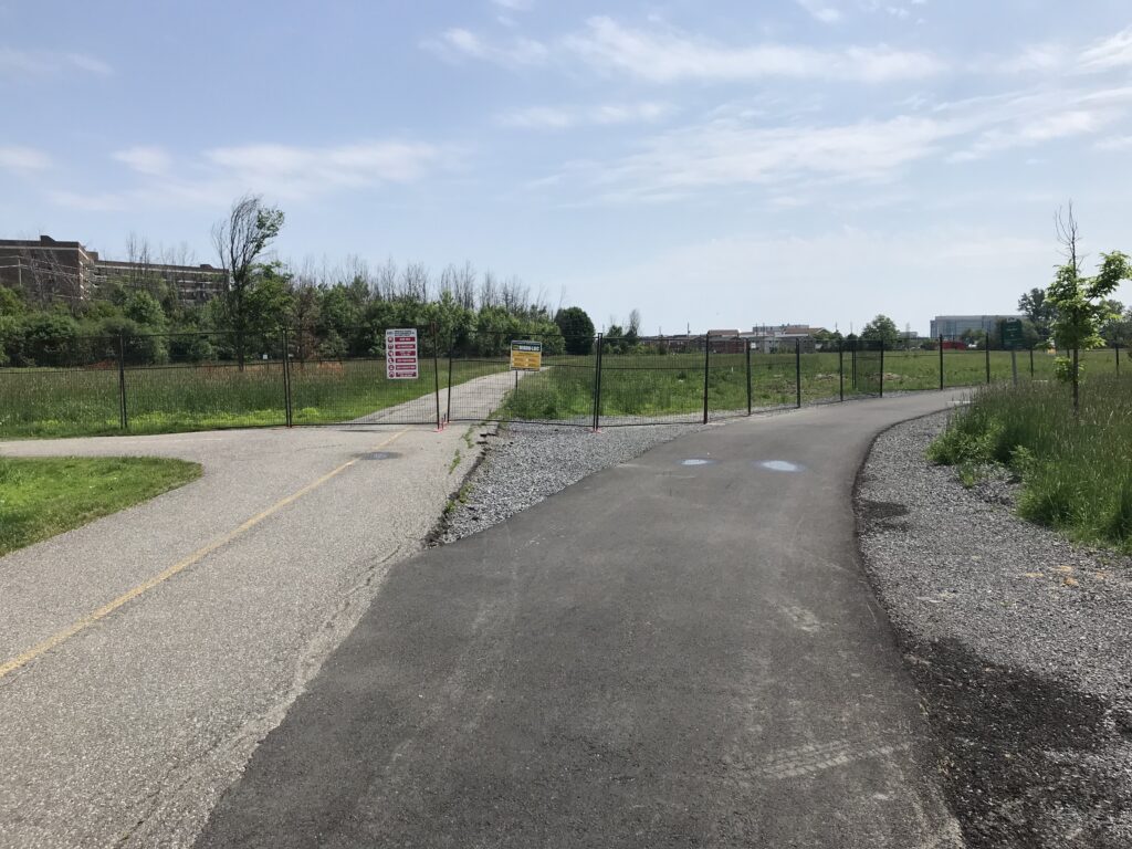
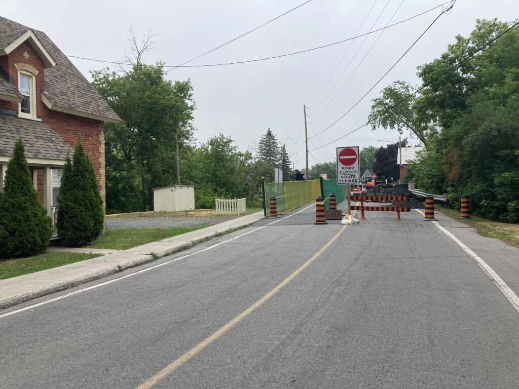
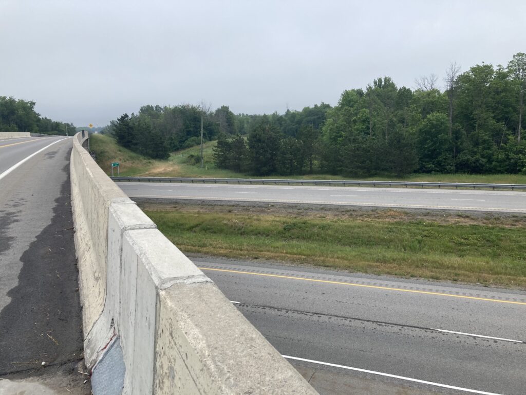
After a few kilometres, I turned right onto Church Street to head into North Gower. There were a few signs indicating construction happening ahead, but I decided to chance it and try this routing anyway. I was glad to find a pedestrian/cyclist-width pathway left open at the bridge leading into town.

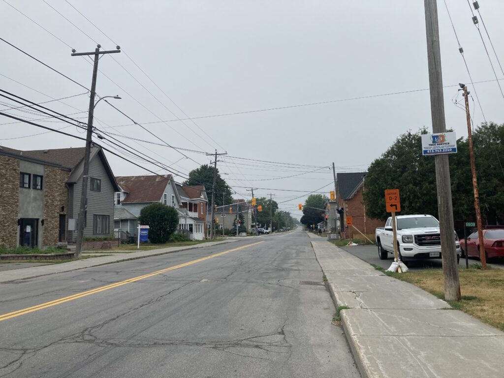
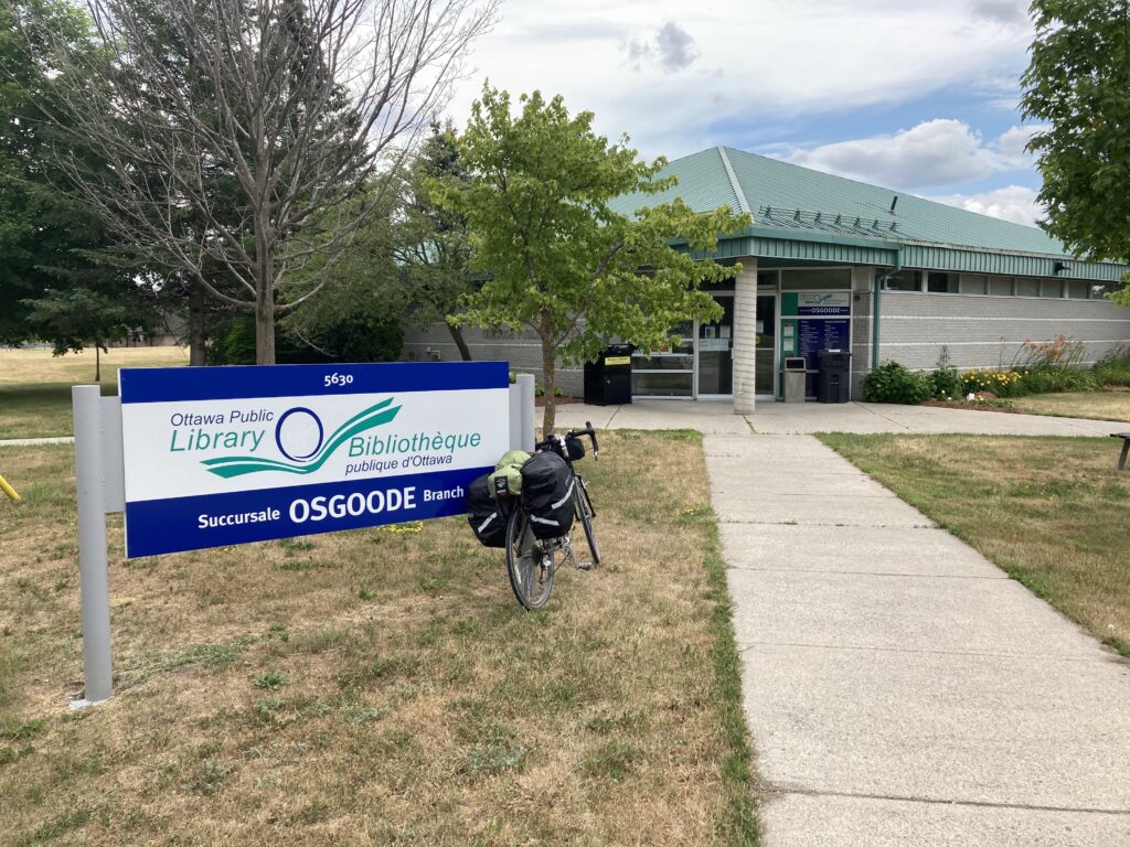
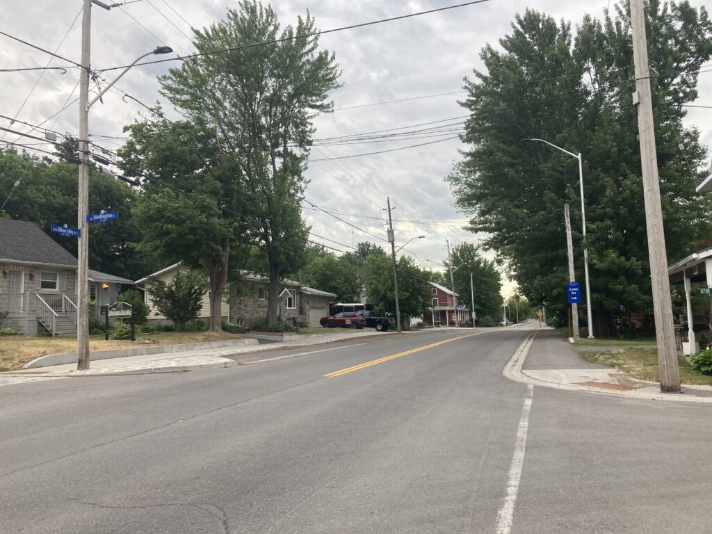
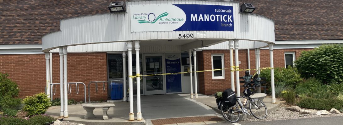
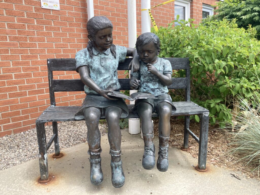
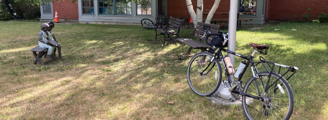
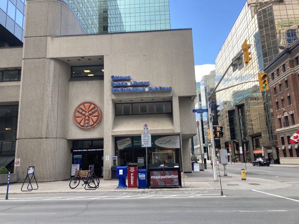
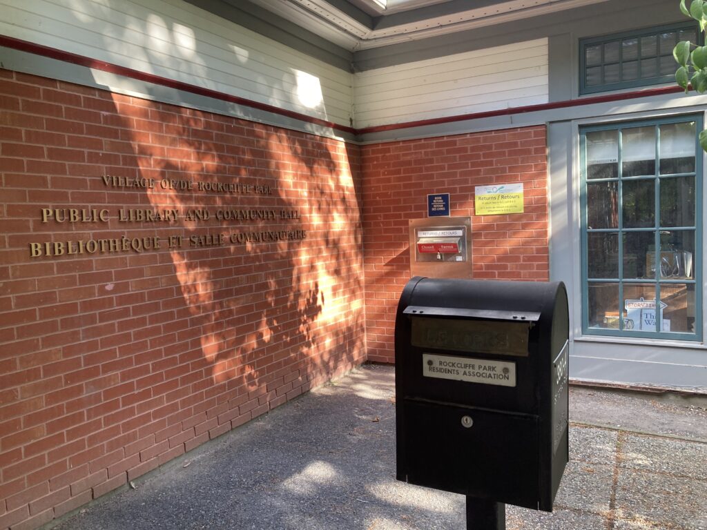
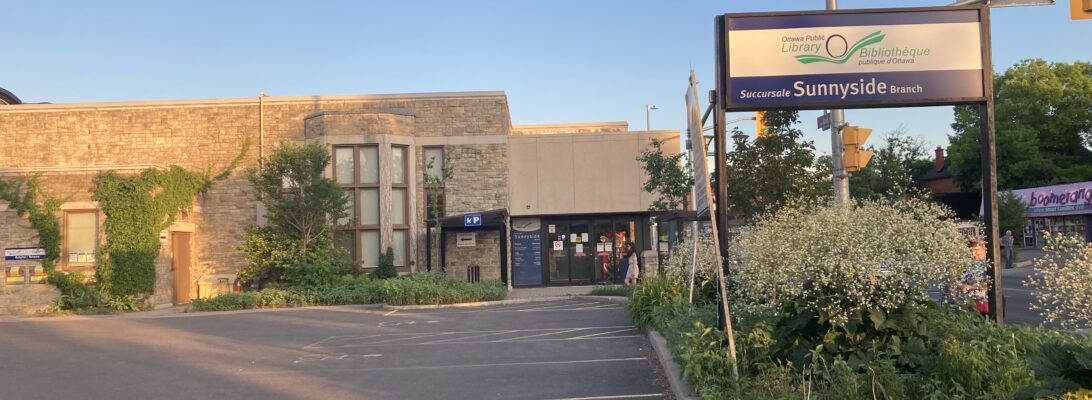
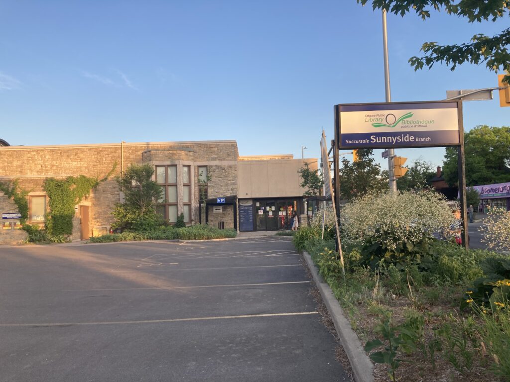
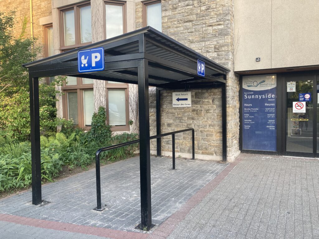
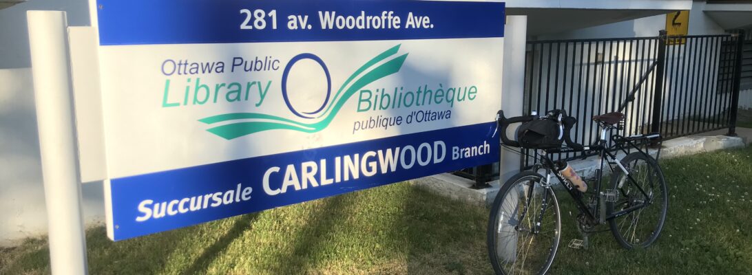
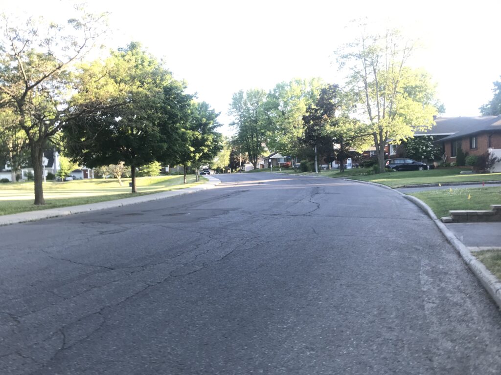
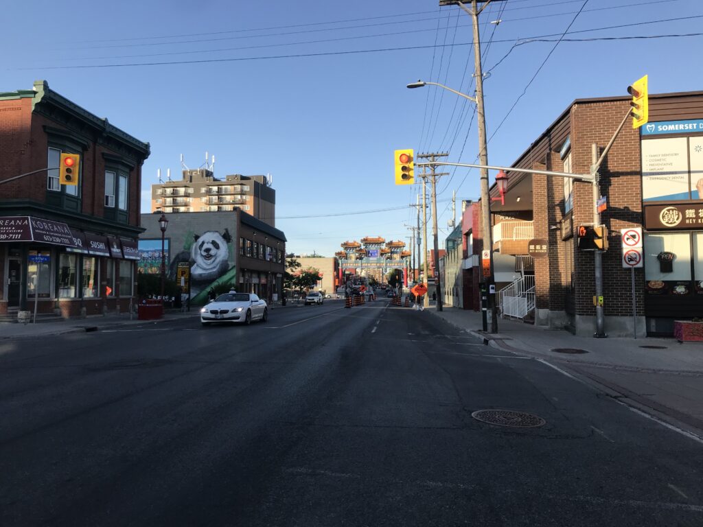
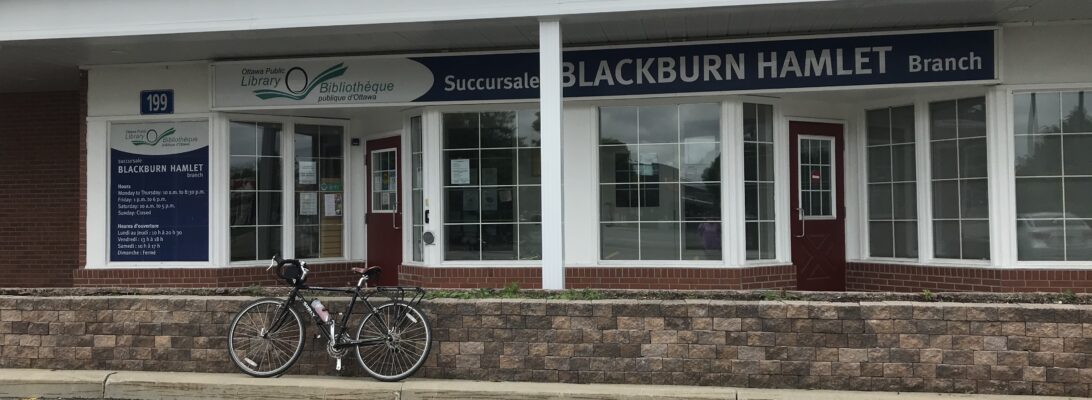
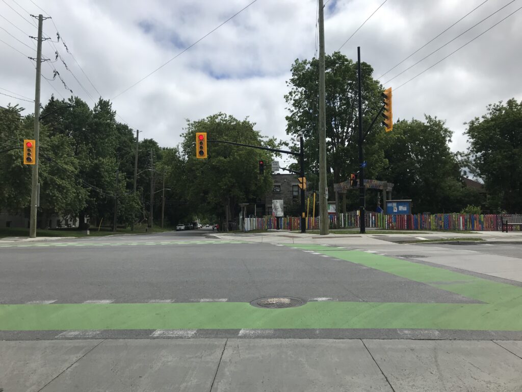
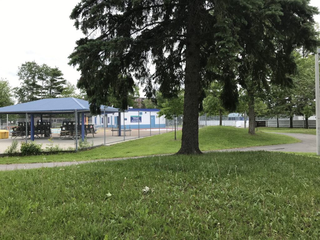
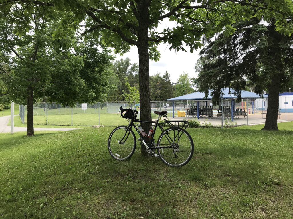
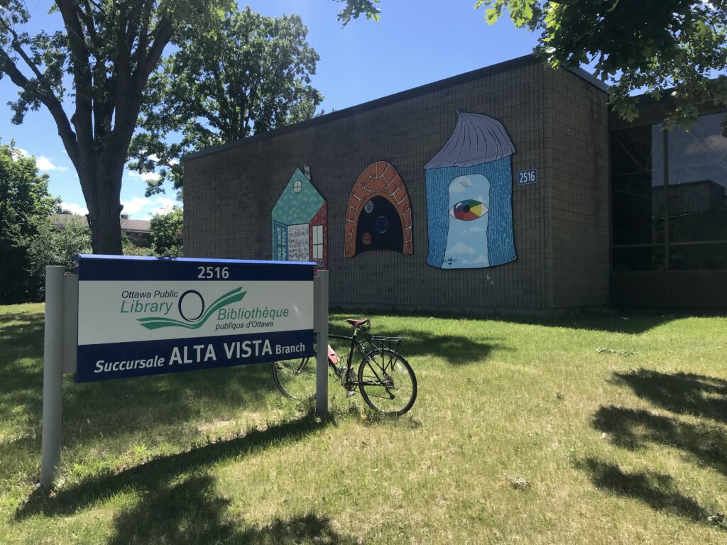
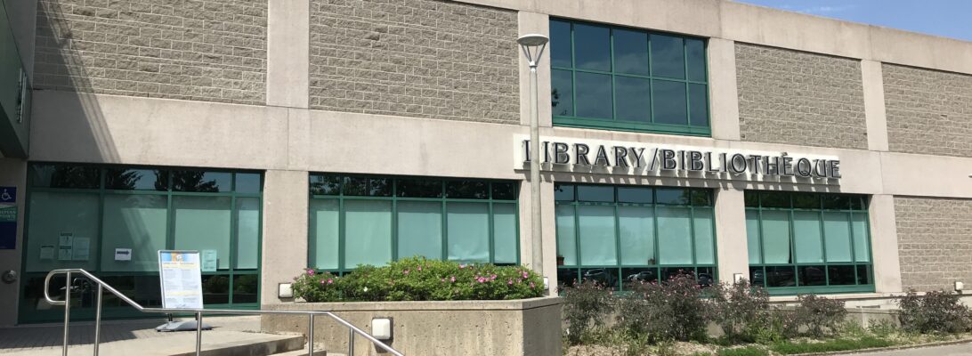
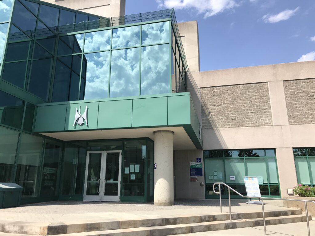
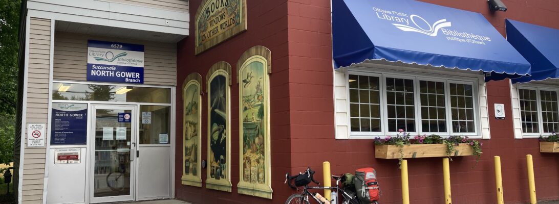
I rode along Fourth Line Road through “downtown” North Gower and reached the library after a couple of blocks.

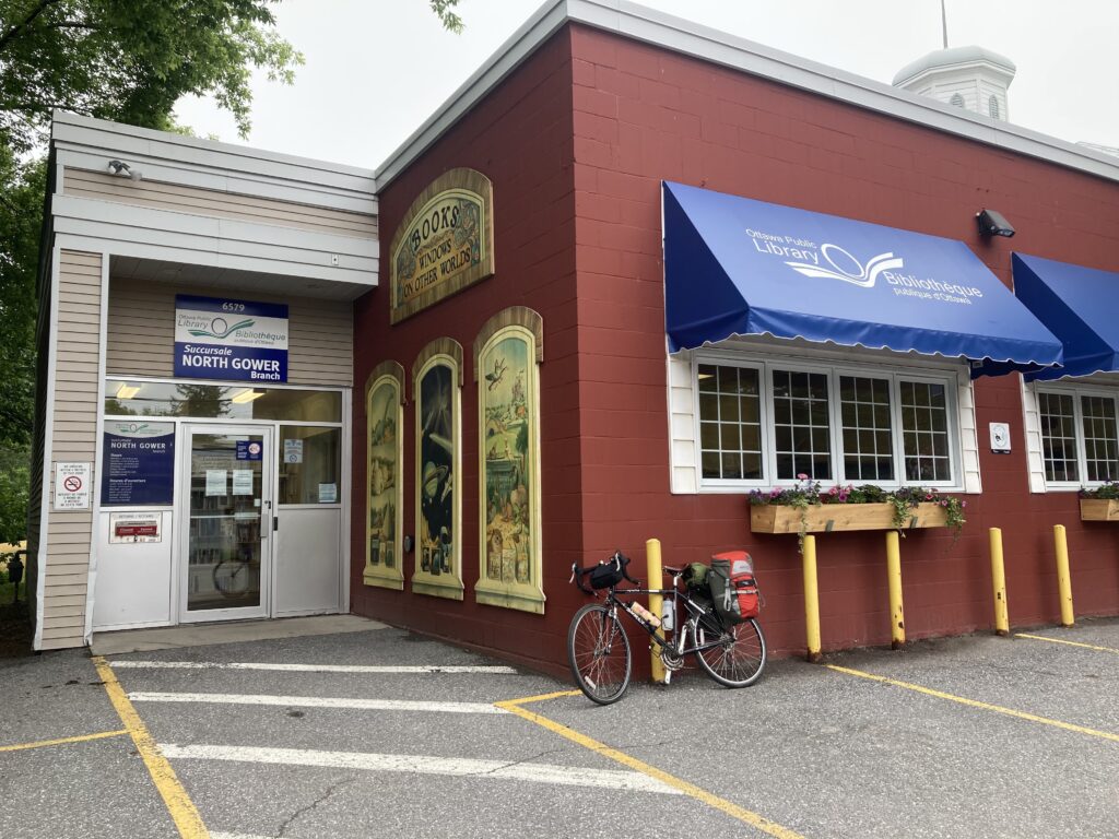
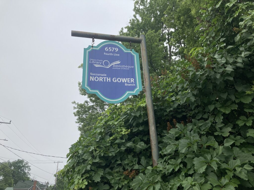
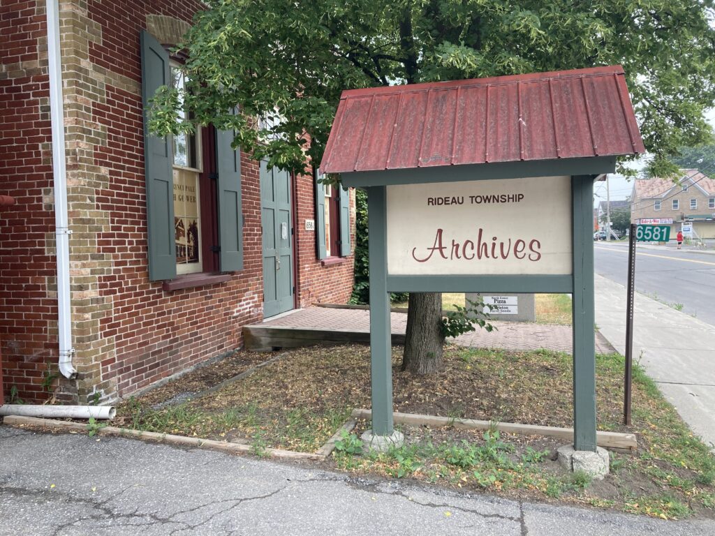
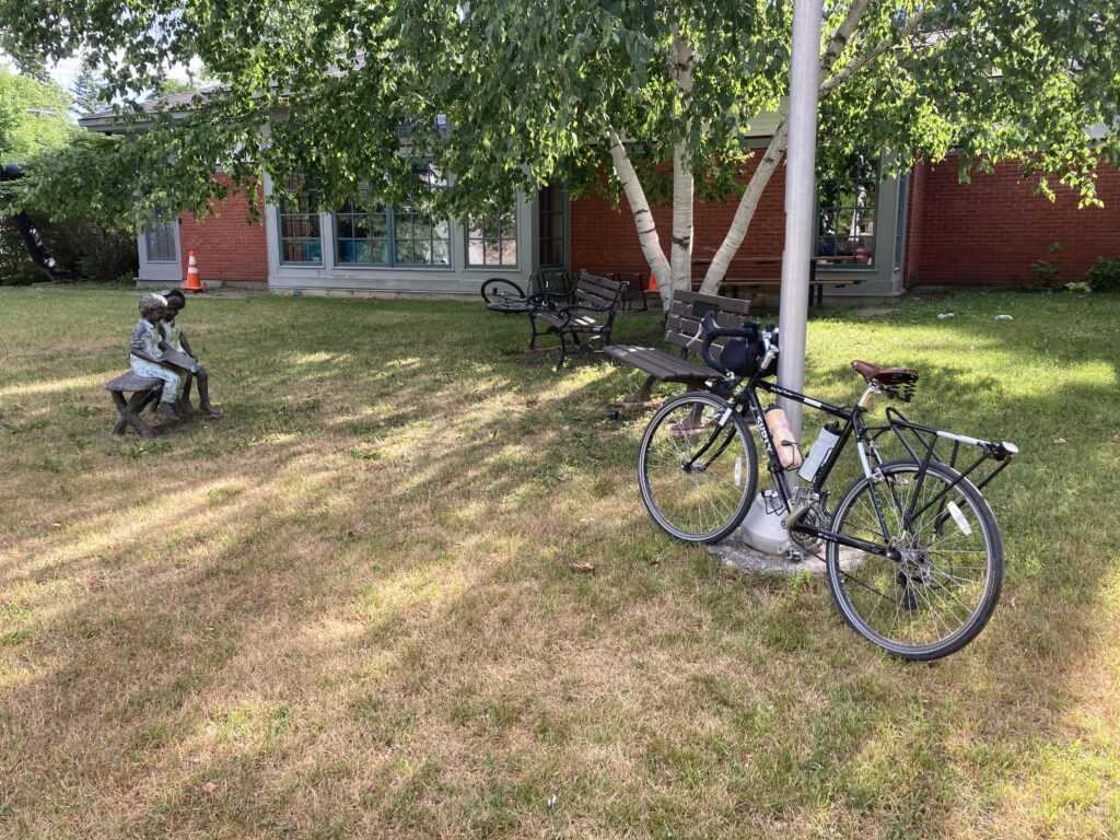
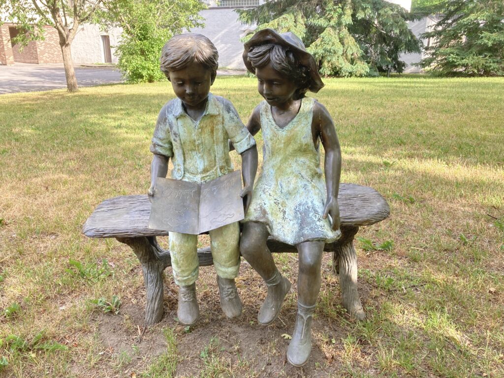
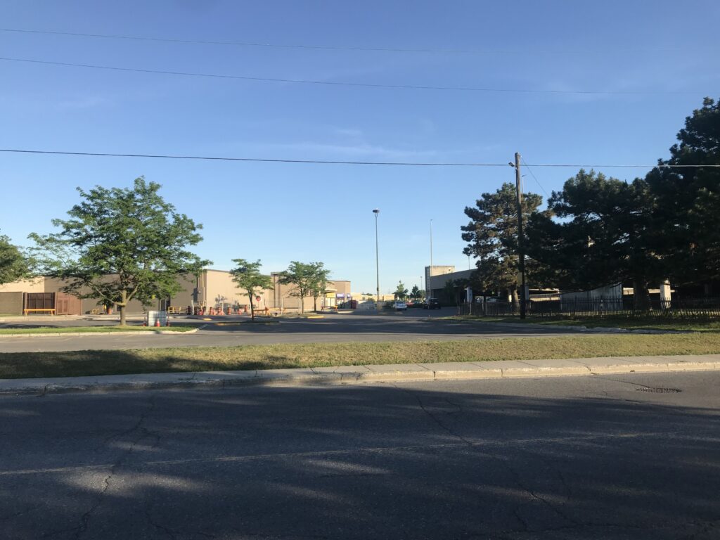
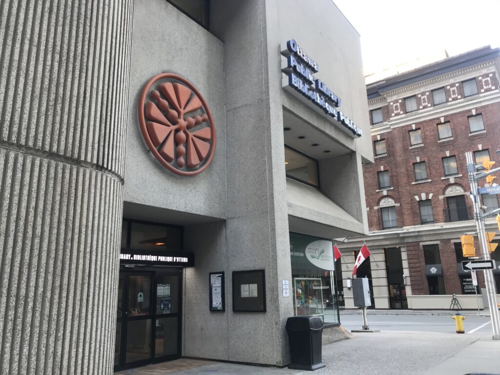
The North Gower Branch features some literary artwork and is neighbours with the Rideau Township Archives, located in the old town hall. After taking a moment to look around, and motivated by the promise of coffee for sale somewhere along the route home, I rolled out of town along Prince of Wales Drive.

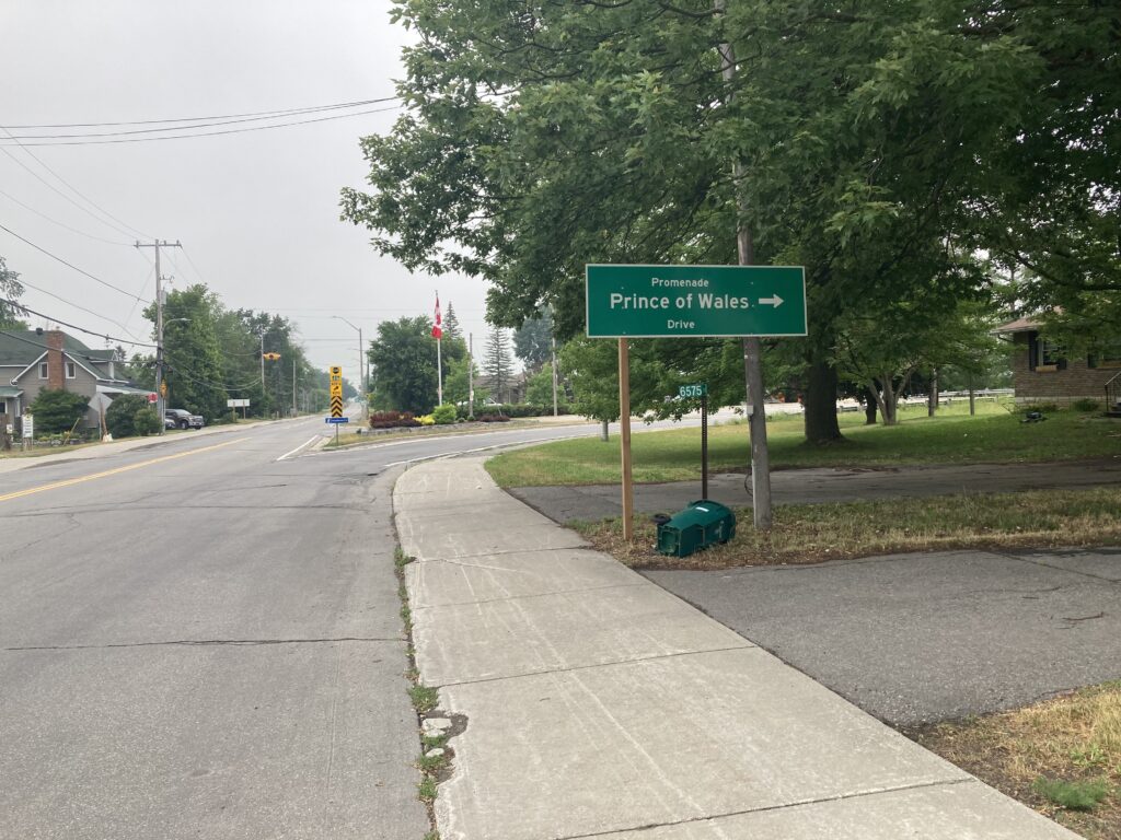
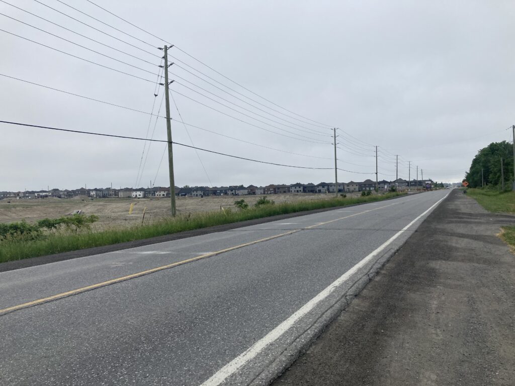
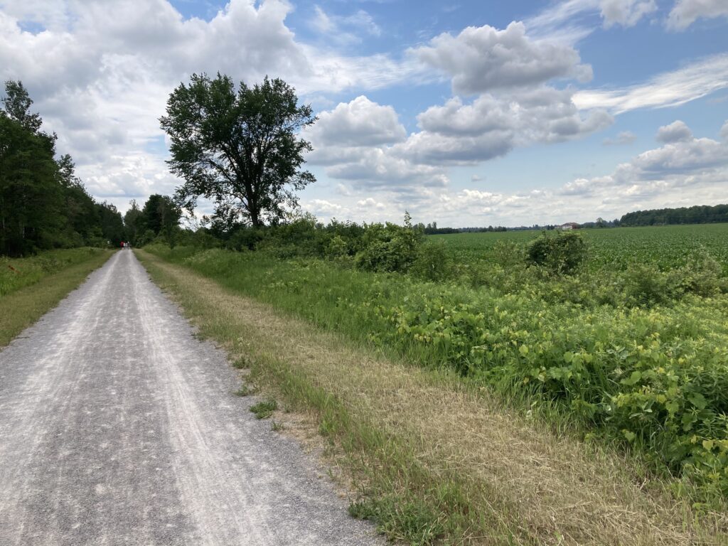
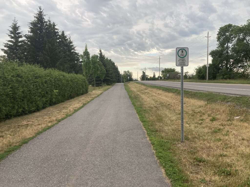
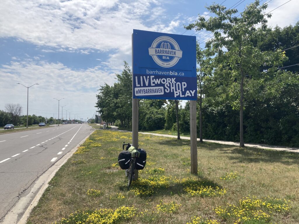
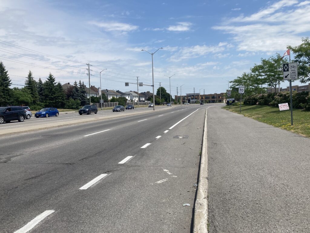
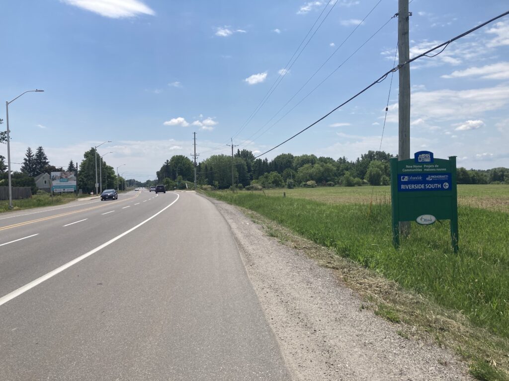
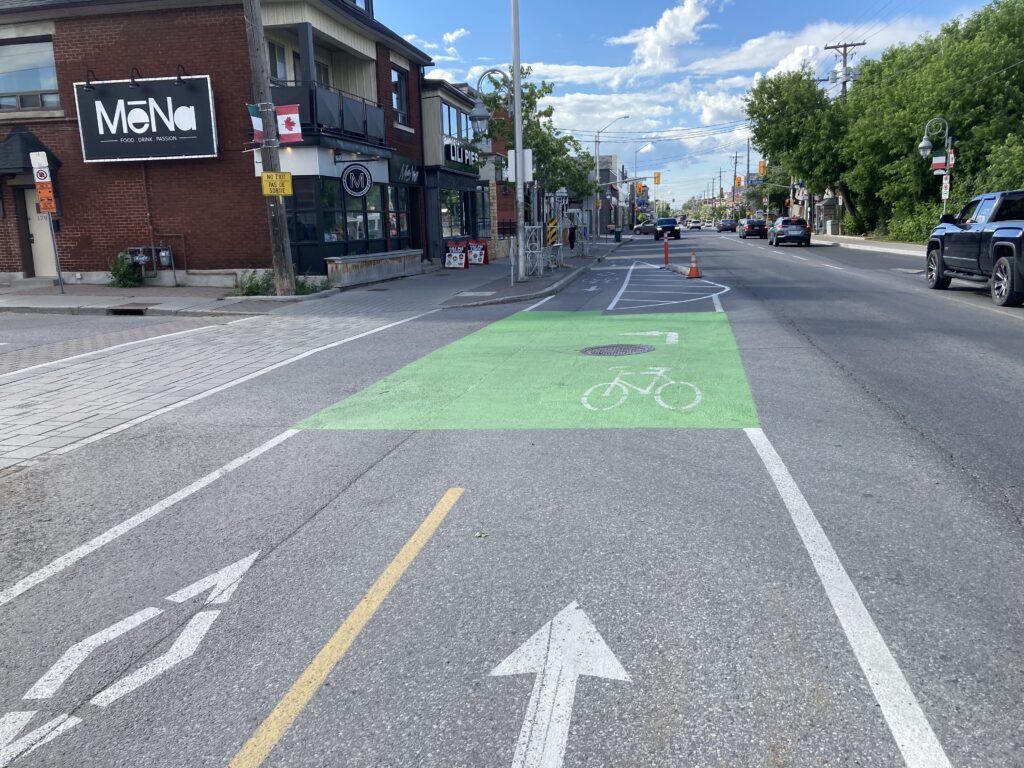
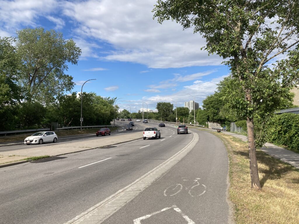
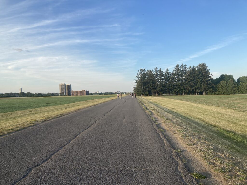
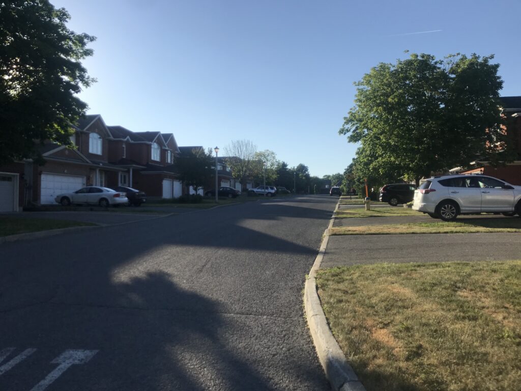
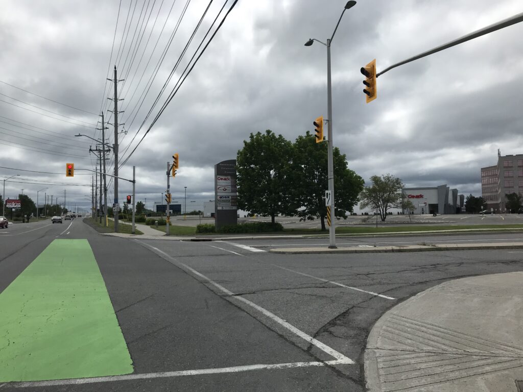
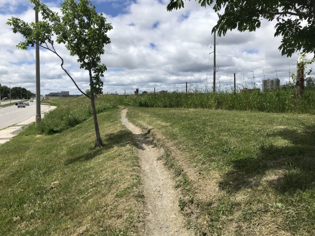
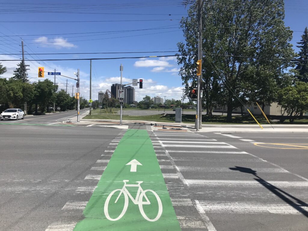
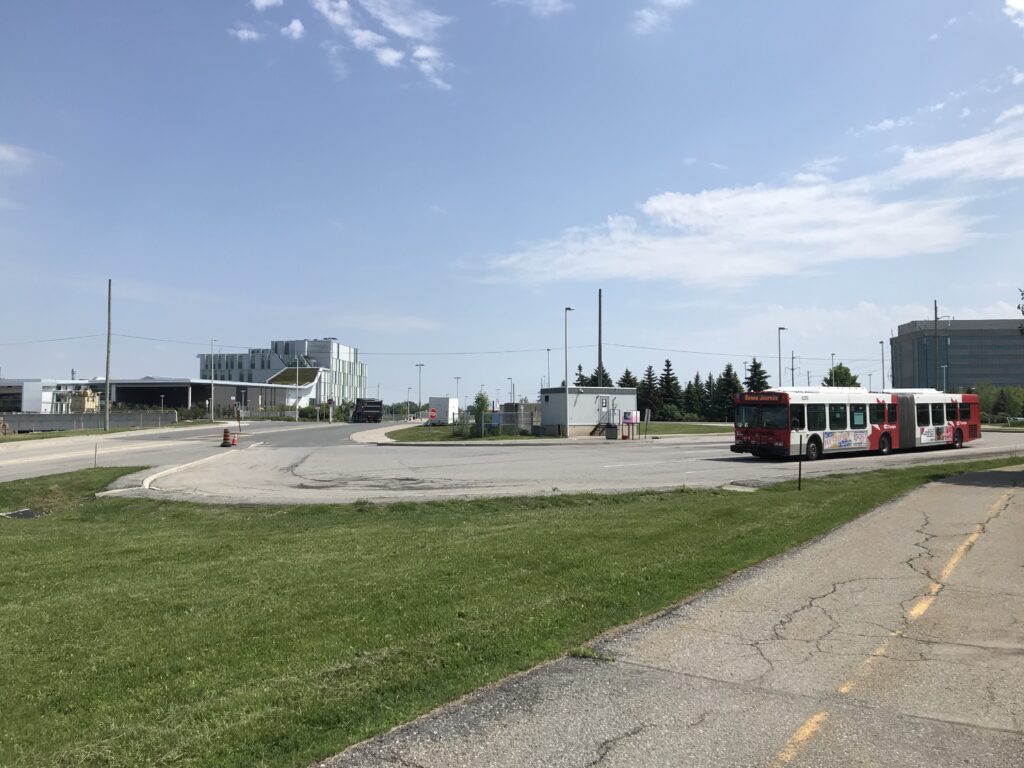
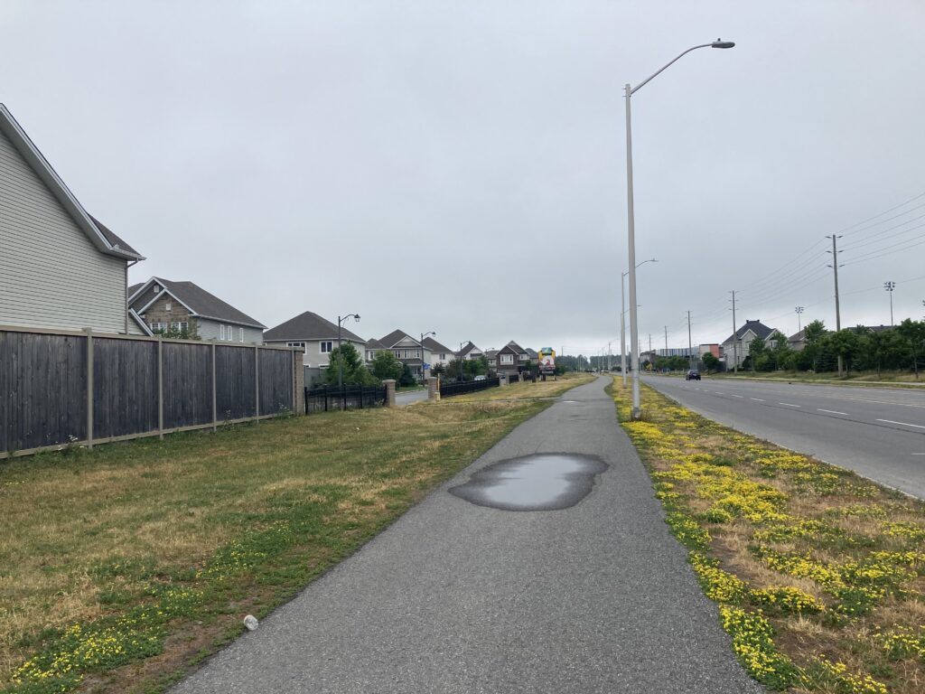
Prince of Wales Drive runs diagonally across the regular street grid, so I meandered north-east back into Barrhaven, then turned north onto Greenbank Road. There was a separated multiuse path along Greenbank, which was gave me lots of space to maneuver, and also a separated bike lane along Cambrian Road, which I rode to Longfields Drive and Chapman Mills Drive. This area is growing quickly and I was glad to see transit and bike infrastructure along the main roads.

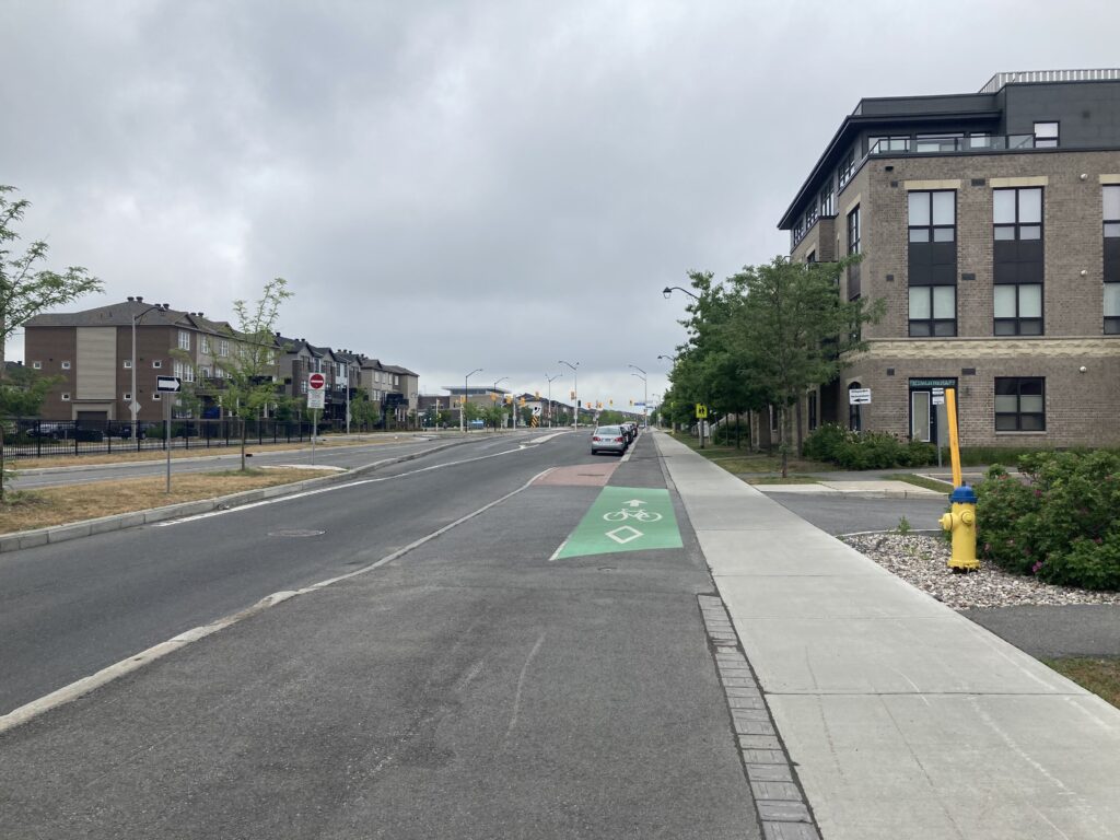
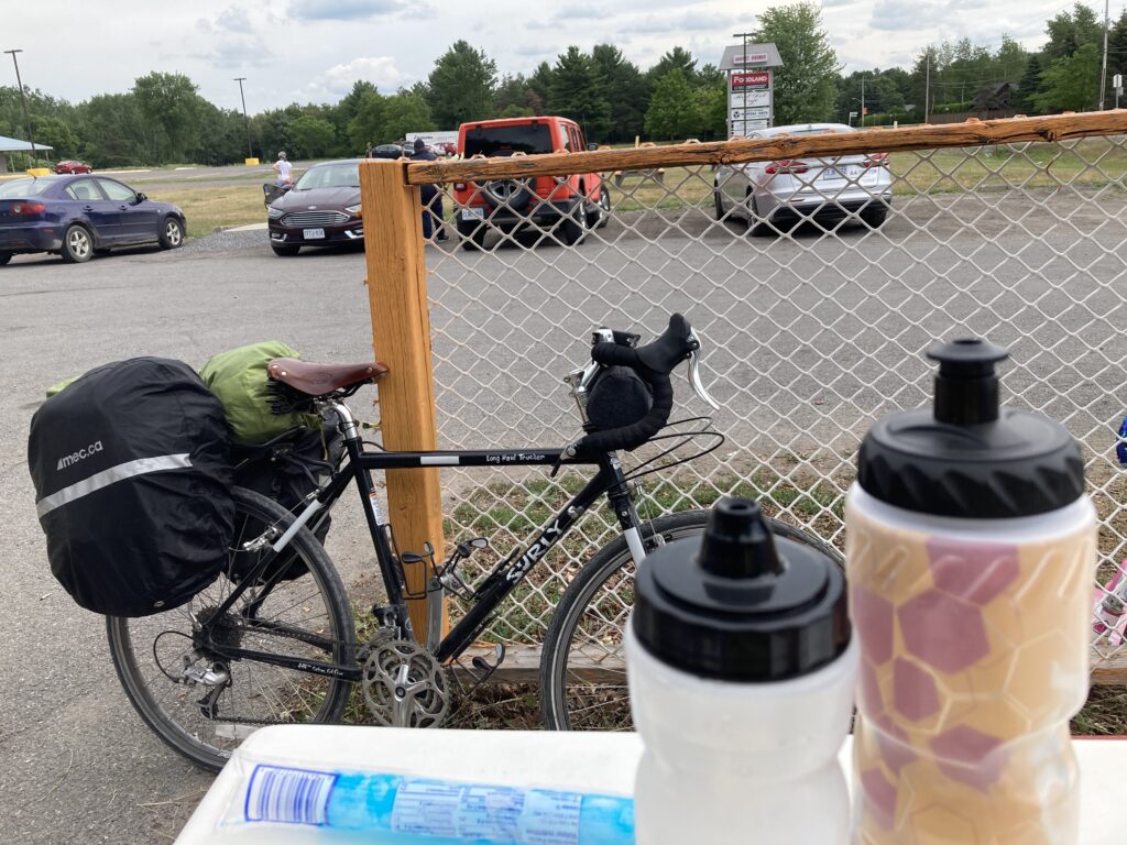
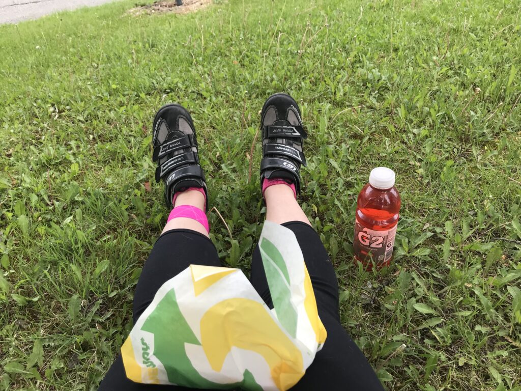
I was, by now, desperate for coffee. Restaurants with outdoor seating are starting to provide sit-down service again, but my outdoor brunch options were limited. I opted for a breakfast sandwich and latte at Starbucks instead.

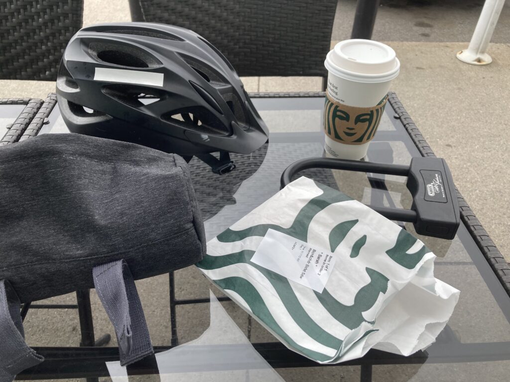
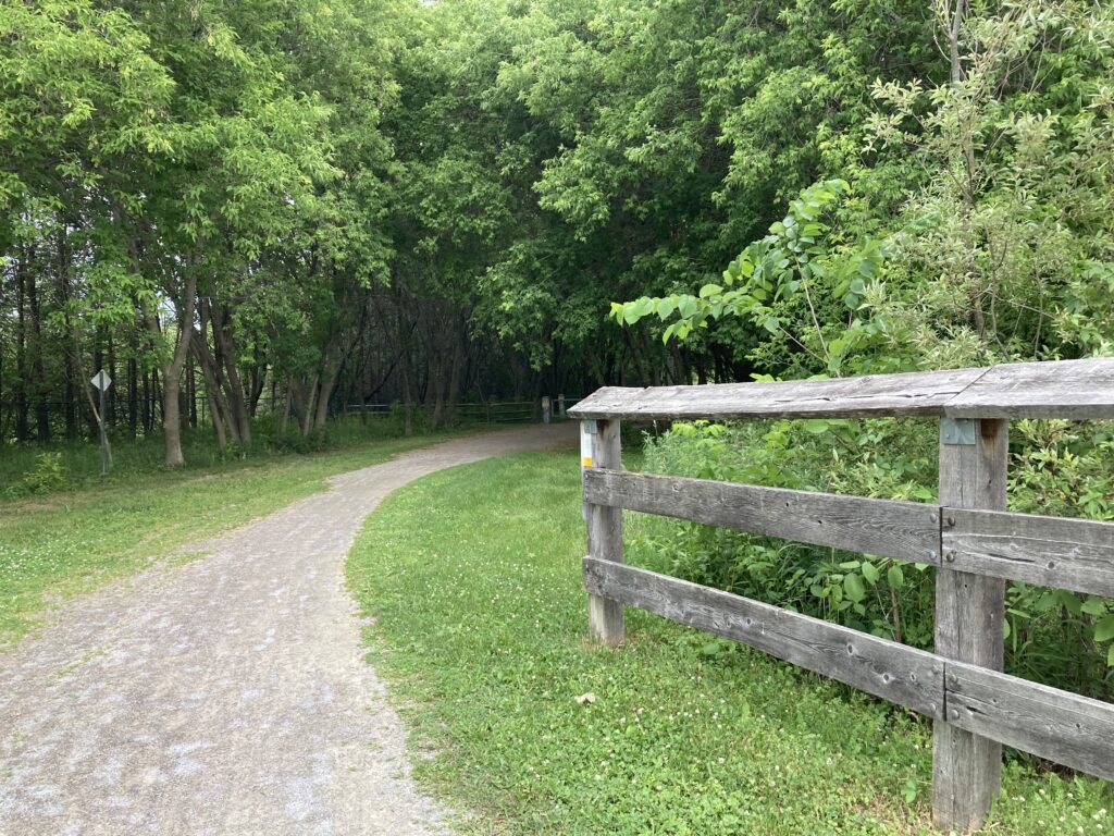
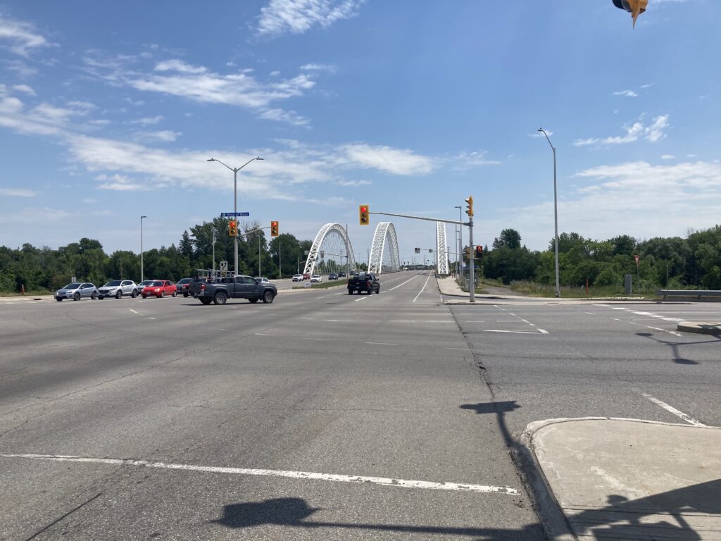
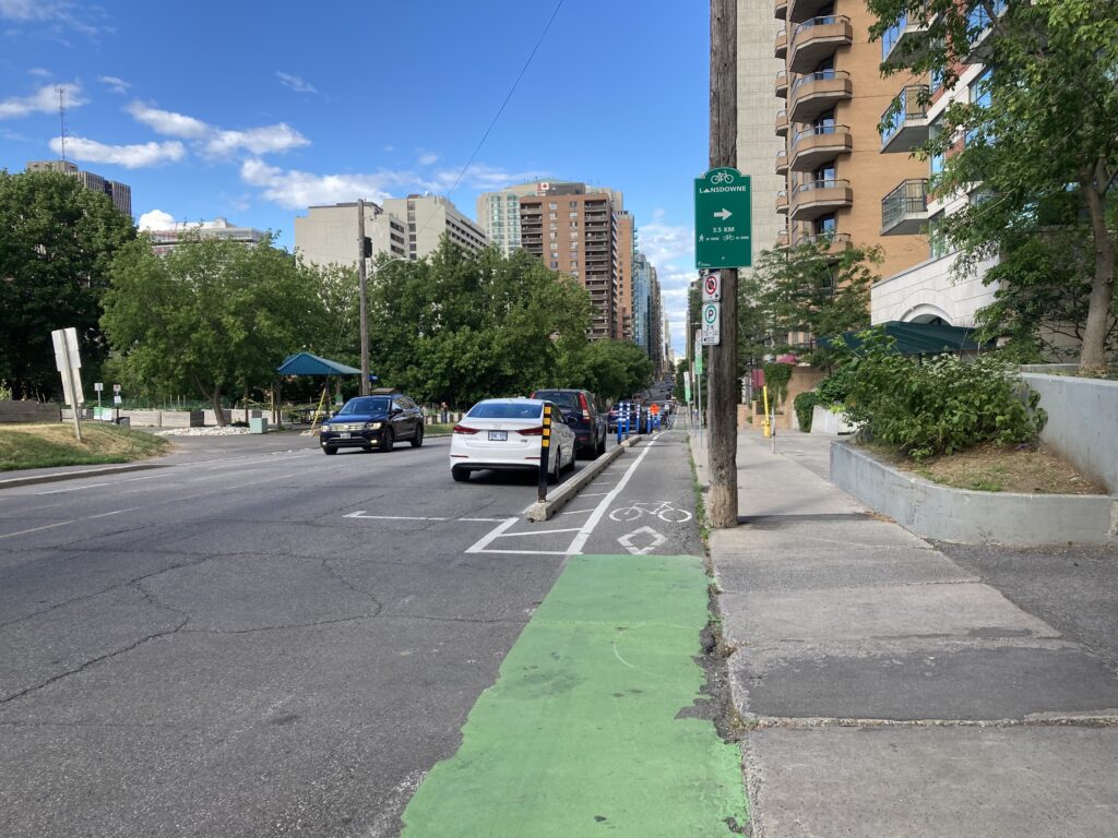
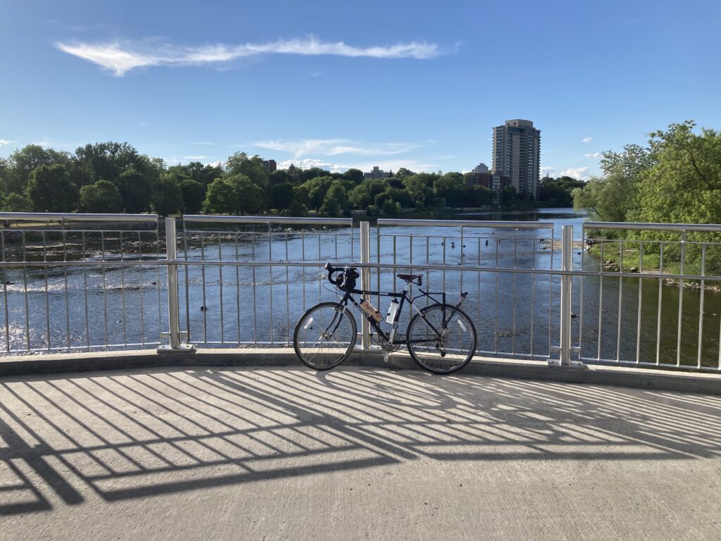
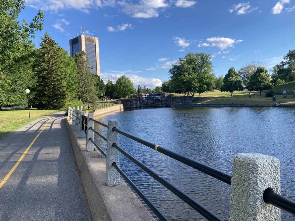
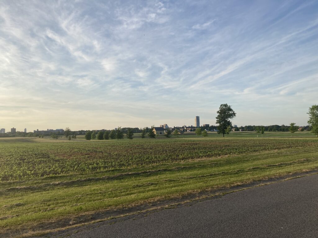
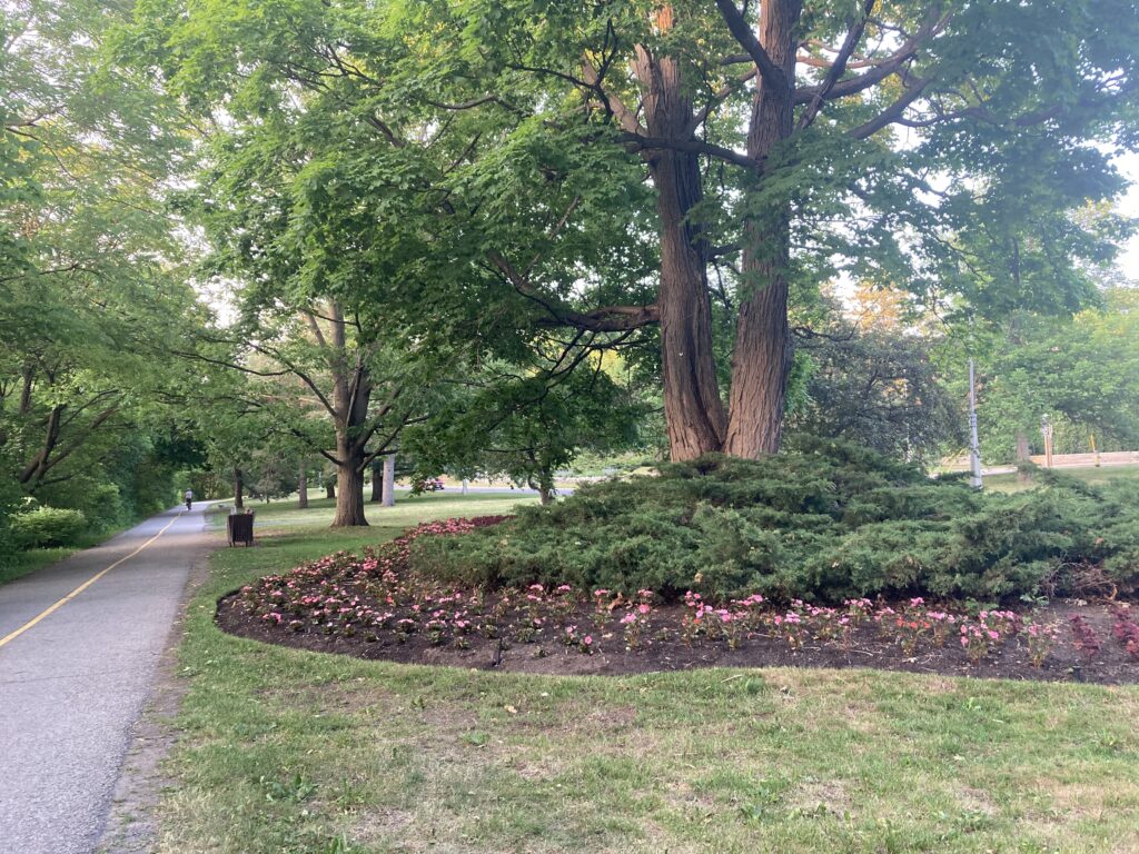
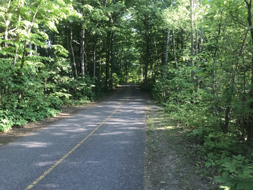
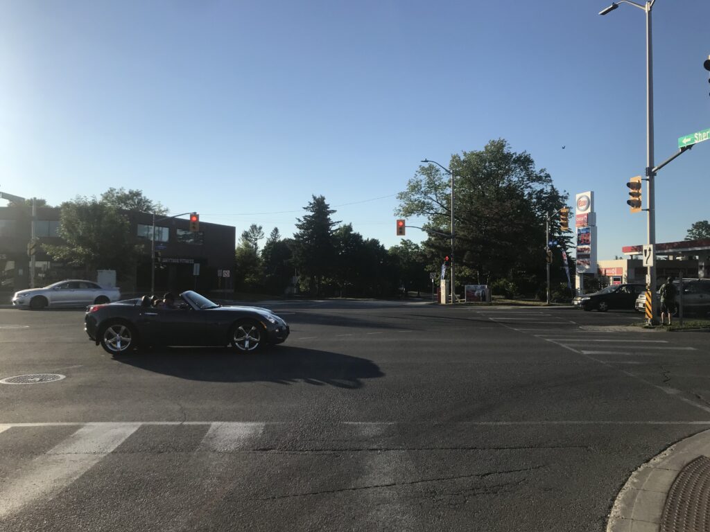
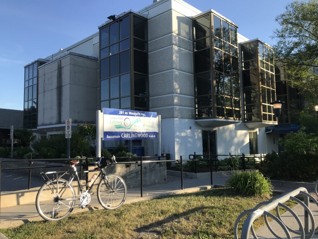
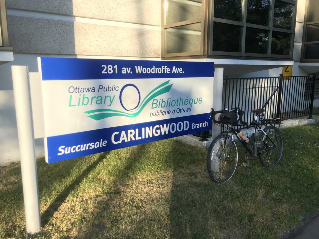
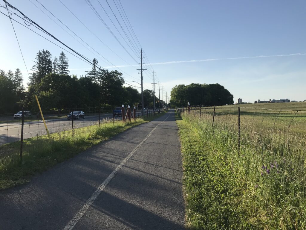
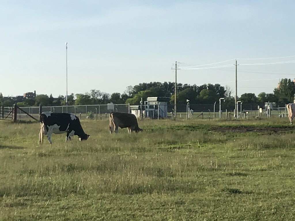
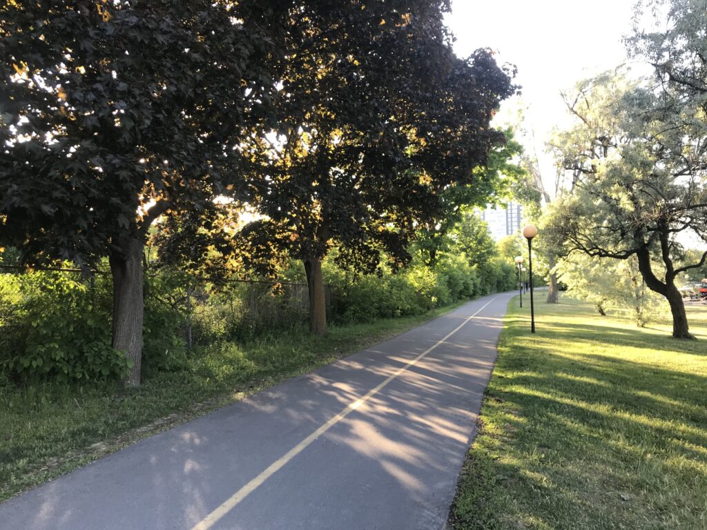
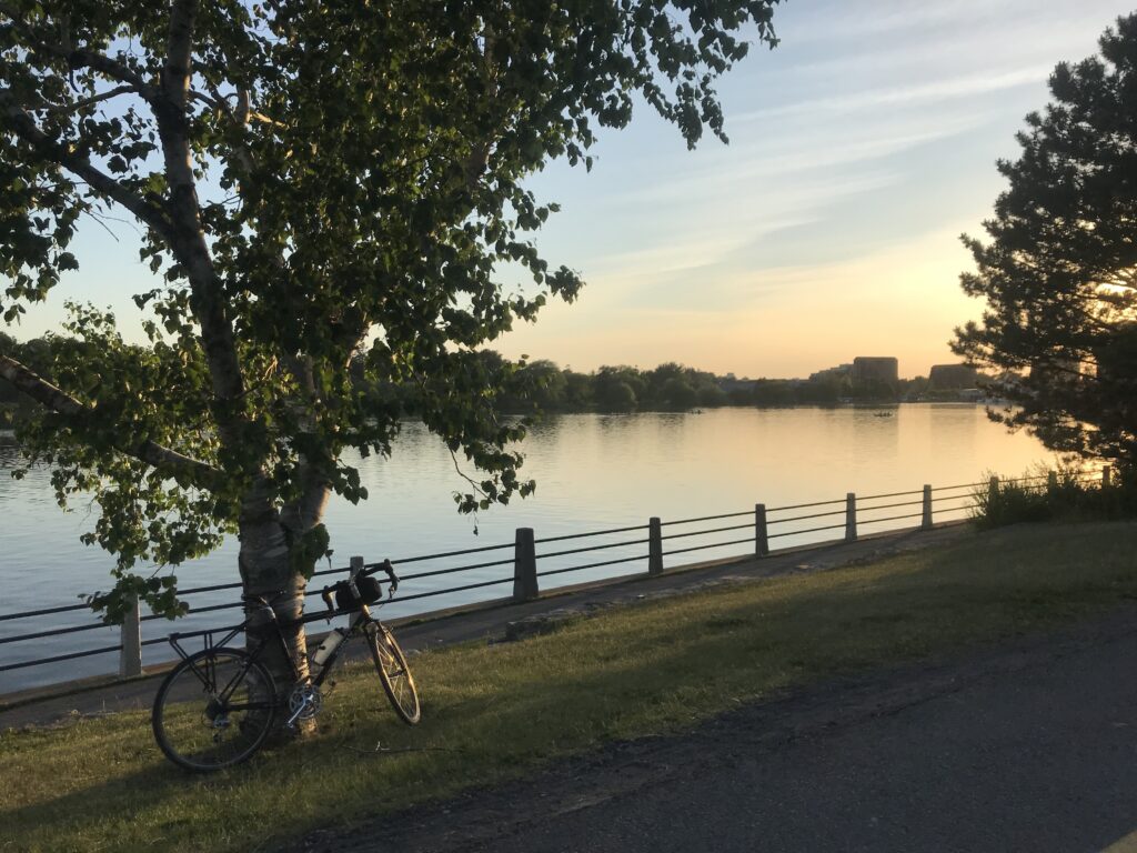
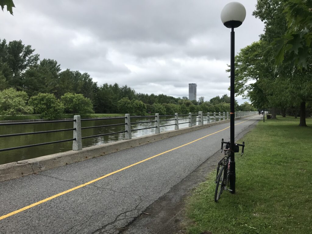
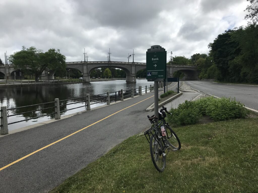
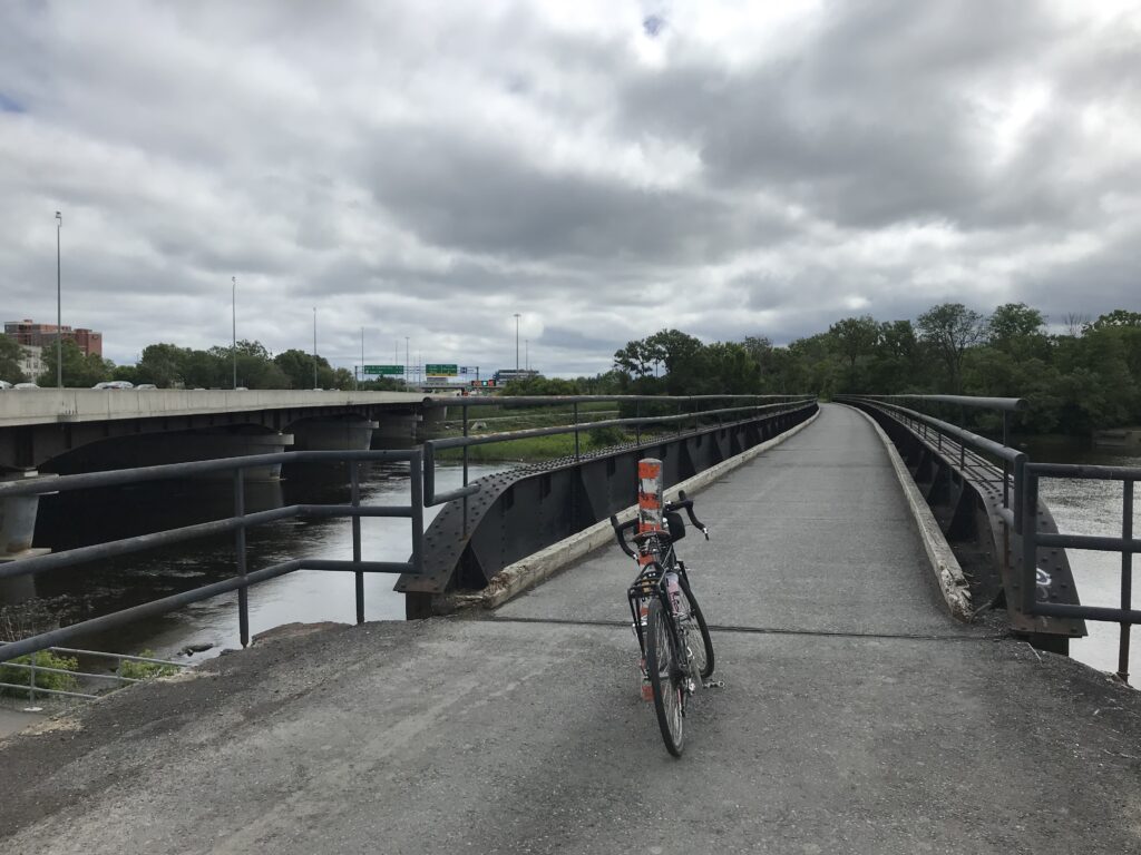
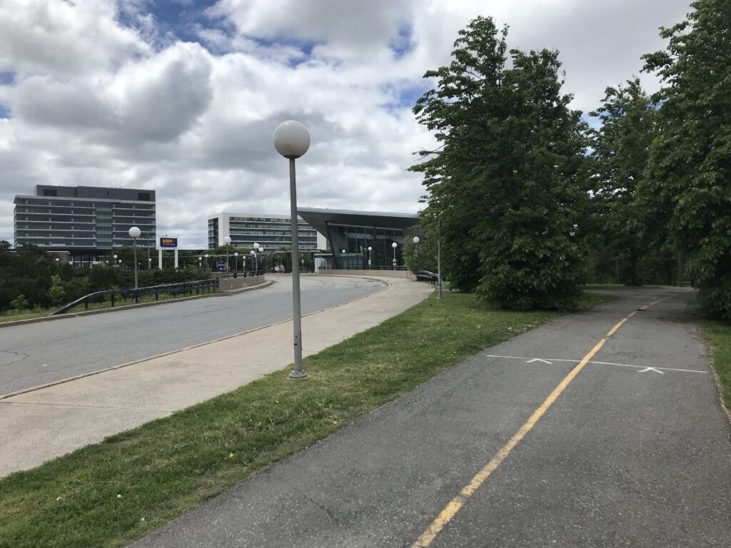
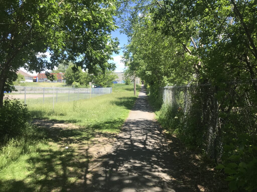
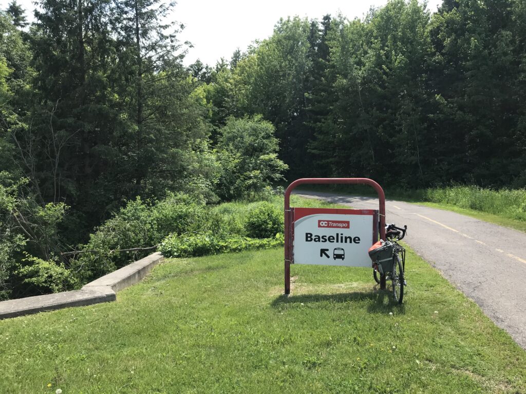
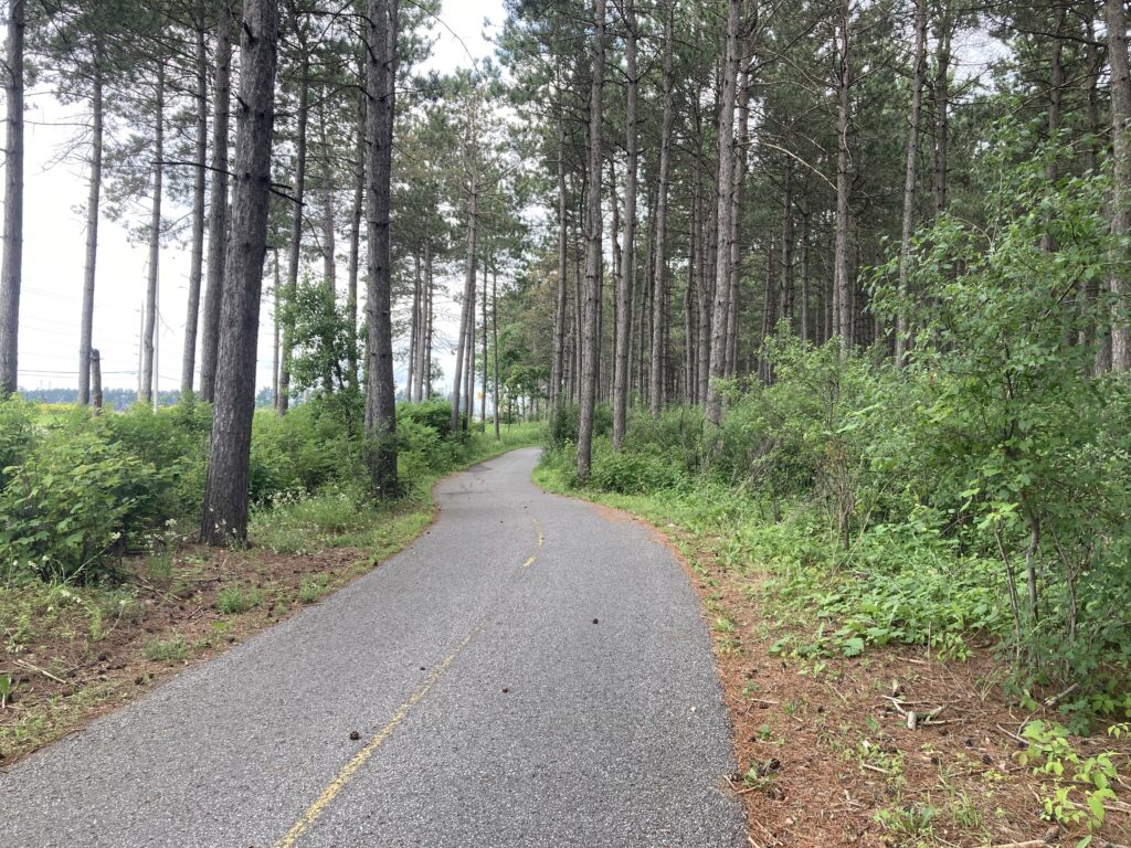
From the Starbucks at Strandherd Drive, I turned north onto Woodroffe Avenue to retrace my route home through the Greenbelt and the Nepean Trail.

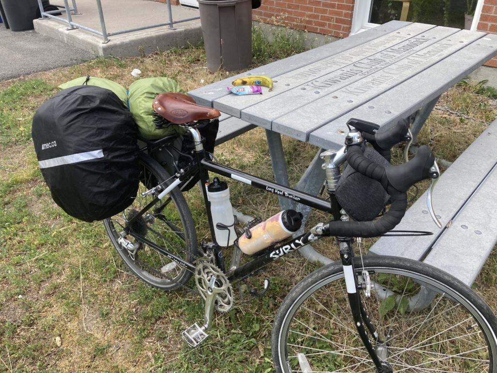
In total, I cycled 100 km in two days, with all the gear. This felt manageable although my legs were wobbly like jelly for most of the day. I’m more confident that the next few loops (looking at you, Carp, Fitzroy Harbour and Constance Bay) will be achievable now that I know I can handle 50-60 km rides on the touring bike.

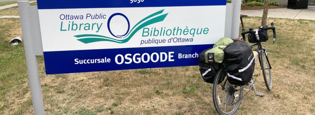
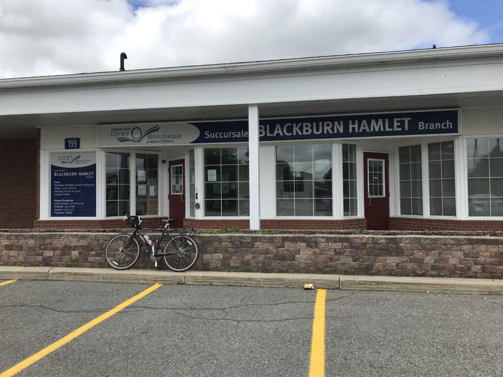
Thirteen branches down, 20 to go.

Osgoode

[ This is part two of a three part series of my weekend bike tour to Manotick, Osgoode and North Gower. ]

I packed up my lunch at Manotick Branch and proceeded back across the bridge to leave town, heading south along River Road.

River Road is by far the most direct route between Manotick and Osgoode, but the shoulders weren’t paved and I wasn’t particularly thrilled to ride on the road. Fortunately, traffic was fairly sparse and there were lots of sights to see, including charming farms and the Rideau River itself.

My planned route included a left turn onto the gravelly Flag Station Road. I was a bit dubious at first, but quickly realized that the GPS did know best this time, and that after only a short ride, the road intersected with the Osgoode-Leitrim Multi-Use Pathway. Yes!

I cruised along the pathway without a care in the world. It was so nice to forget about traffic and enjoy a shaded ride through the countryside. I also met a new canine friend out for a walk on the path.

The pathway goes straight into Osgoode, and there’s even a bike repair station. I turned left to continue along Main Street through town.

After just a short ride along Main Street I found myself at Osgoode Branch. It was a quiet spot, close to the community centre, park, and several sports fields. I took a few moments to look around, then continued along Main Street for a refuelling stop.

The sky was getting much greyer at this point, so I chose not to dawdle and hopped back on the back to return to the pathway and head for my campsite.

I continued along the pathway until Snake Island Road, then turned left. I crossed the Rideau River at Kars, biked into town and proceeded through the community along a multi-use path. Nice!

I left Kars along Rideau Valley Drive South, which flanks the opposite side of the Rideau River. This was an easy ride without much traffic at all. There were horses! And gliders!

When I turned the bend at the Kars/Rideau Valley Air Park, the weather took a definitive turn toward rain showers. I grabbed my jacket, made sure my pannier covers were well-secured, and braced myself for the final 10 km or so.

I have to say, despite the rain, I was feeling pretty thrilled to have made it to the outer edge of Ottawa, and was positively beaming by the time I made it to the Rideau River Provincial Park.

I set up my tent in the rain, cleaned up for a bit, took a light snooze and woke for an evening stroll around the park. Not a bad way to end a 55 km day.

Twelve branches down, 21 to go.

Manotick

[ This is part one of a three part series of my weekend bike tour to Manotick, Osgoode and North Gower. ]

I knew when I started Tour de Branch that there would be some longer rides. Post-amalgamation Ottawa is, after all, big. Really big. So big that the “Welcome to Ottawa” sign that you pass coming into the city on Highway 416 is a good 30 mins from any evidence of a city. That said, I’ve been looking forward to venturing out a bit further to see Ottawa’s more rural areas. I plotted a 100 km loop connecting Manotick, Osgoode and North Gower with an overnight camping trip at Rideau River Provincial Park built in. I checked and double-checked the weather, packed my bags, loaded the bike, and headed out around lunchtime on Saturday.

My first destination on the route was Manotick, about 20 km from home, and I headed out of town along the same route as my trip to Ruth E. Dickinson: South along the Nepean Trail to Colonnade Road, then through Tanglewood Park to Hunt Club. I cycled south though the Greenbelt on Woodroffe Avenue, was passed by many road cyclists (the fully loaded bike is not fast!), and arrived in Barrhaven.

From Woodroffe Avenue, I turned left onto Strandherd Drive and crossed the Vimy Memorial Bridge, then turned south and followed River Road out of town. This area, known as Riverside South, is growing rapidly with new developments popping up all around. I felt pretty safe on the wide paved shoulder and would use this routing again for future rides.

I continued along River Road for a spell, then made a right turn onto Bridge Street to cross the Rideau River and arrive on Long Island.

Once across the bridge, it was a quick left turn to find the library, which backs onto South River Drive Park and is just a few steps from the Rideau River.

COVID-19 is still happening, and this branch is currently closed to the public. I admired the art, took a little refuelling break at the picnic table around the corner, then set my sights on Osgoode Branch.

Eleven branches down, 22 to go.

Rockcliffe Park

Another day working in my spare room = hardly any steps logged on my smartwatch. I closed up my laptop for the day, switched off the fan and hopped on my bike for a little pre-supper pedal eastward to Rockcliffe.

My route to Rockcliffe started in much the same way as my route to Main: Across the farm to the Prince of Wales Drive roundabout, then north down the hill to the Trillium Pathway and through Little Italy and Chinatown before turning onto the bike path on Laurier Avenue.

I continued along Laurier, passed the University of Ottawa (still there, still a ghost-town), then cycled through Sandy Hill on Wilbrod Street and Chapel Street before crossing Rideau Street into Lowertown.

I crossed the St. Patrick Street bridge and rode the bike lane into Beechwood. Then it was a quick left turn onto Springfield Road to climb the hill toward Rockcliffe Park.

You’d think I’d have an innate sense of “library nearby” radar by now, but I nearly cycled past the library without noticing it. It is co-located with the community hall and didn’t have the usual signage out front. I spent a quiet moment in the garden outside admiring the artwork, then hopped back on the bike to take a slightly different route home.

From Beechwood Avenue, I turned south onto the Rideau River Eastern Pathway and cycled along the river before taking the Adàwe Crossing back to Sandy Hill.

I cycled through Sandy Hill (more like Sandy Hills, am I right?), then followed the bike path from uOttawa under the O-Train station to the canal.

I continued along the canal past Dow’s Lake, then crossed over at Carleton University and headed home through the farm.

10 branches down, 23 to go.

Sunnyside

I’d normally reserve the weekend for longer rides, but Ottawa is in mid-heat wave so I scaled my ambitions back a wee bit. After supper on Saturday, I filled up my largest water bottle and headed east to Old Ottawa South.

There were lots of families out and about at the Central Experimental Farm. With the wide roads that are off-limits to traffic, it is an ideal spot for some exercise and safe physical distancing. I crossed the canal at the lock station near Carleton University and turned onto the Rideau Canal Eastern Pathway to head toward Bank Street.

I turned off the pathway just before the Bank Street bridge. There’s a slightly discontinuous connection between the multi-use path and Echo Drive, which does not have a bike lane and joins up with Bank Street close to the bridge. No time to complain for long, though, because Sunnyside branch was at the top of the hill!

From the library, I headed south on Bank Street past the Mayfair Theatre and several long line-ups at both Stella Luna Gelato and Dairy Queen.

I turned off Bank Street at Riverside Drive to join the Rideau River Eastern Pathway for a nice ride home during sunset. Along the path I stopped as a pack of Canada Geese crossed in front of me on their own time, seemingly unconcerned about the humans waiting for them to do so.

I continued along the path past Carleton and through Vincent Massey Park, where many families were out enjoying the cooler evening weather and wrapping up their picnic dinners. From there I headed for Hog’s Back and enjoyed a nice view of the falls on one side and Mooney’s Bay on the other.

After crossing the temporary paths and bridges at Hog’s Back, I continued north along Prince of Wales Drive, then along Dynes Road to Fisher Avenue, one of my preferred routings to avoid Baseline Road. Once I reached the farm, I was nearly home.

And now for some exciting news! When I told my friend Mary last week about this biking/blogging project, she mentioned that her friend (and retired librarian) Jane is also on a mission to cycle to each Ottawa Public Library branch! Jane reached out to me, and offered to match my donation to Twice Upon a Time at the end of the project. I’ll be sharing Jane’s adventures on this blog too. As for me:

Nine branches down, 24 to go.

Carlingwood

I’ve been getting through the “close to me” branches at a pretty rapid (and somewhat depressing) pace, but I’m also unable to pass up an opportunity to bike to another branch on the list while in the neighbourhood. I had a physically-distant deck beer scheduled near Carlingwood, and figured it would be an easy stop to check it off the list. (I’m planning to leave my home branch of Emerald Plaza for last 💚).

I left my house in Central Park and headed for the Experimental Farm Pathway, then turned right to continue north on Maitland Avenue toward the Queensway. Maitland Avenue wasn’t the most bike-friendly routing, but COVID has cut down traffic significantly and I felt fairly comfortable crossing the highway and cycling to Carling Avenue.

At Carling, Maitland Avenue becomes the infinitely more-pleasant-to-cycle Sherbourne Road, which is outfitted with bike lanes on both sides.

From Sherbourne Road, I turned west on Saville Row and cycled painlessly to the library on the corner of Woodroffe Avenue. It was while planning this bike route that I realized for the first time that Carlingwood is named for its location at the intersection of Carling (duh) and Woodroffe (ohh!). This revelation was a bit embarrassing having lived in Ottawa and frequented the Carlingwood Shopping Centre for over six years now.

Carlingwood is currently closed to the public, but I was able to take some photos outside in the evening sun. This branch was a regular stop for me in the “before times” and I’m glad it was just a short ride away. After taking the pictures, I headed out for deck beer, then took a different route home south on Woodroffe and then east on Iris Street and Navaho Drive.

Eight branches down, 25 to go.

Main

I went back “to” work today after my vacation. In COVID times, my commute has been shortened to a walk to my spare bedroom, so I was keen to take advantage of the long June days to go for a bike ride before sunset. I felt like a ride downtown, and decided to plan my route to Main branch.

From my home in Central Park, I headed across the Central Experimental Farm with a special detour to see the cows eating their supper. From there, I joined Prince of Wales Drive at the roundabout and proceeded down the hill in the bike lane to meet the entrance to the Trillium Pathway, which runs close to the O-Train tracks toward Bayview Station.

The Trillium Pathway passed along Preston Street for a spell, but the bidirectional lane ended abruptly to head back toward the rail line. I opted to continue along Preston Street, and made my way to Somerset Street where I turned right and headed up the hill through Chinatown.

From Somerset Street, I turned left on Bronson Avenue and then right to join the Laurier Avenue bike lane. It was very quiet downtown, almost eerie, and I felt for restaurant owners without patios. I soon pulled up to Main branch, who have begun offering curbside drop-offs and pick-ups.

From the library, I continued east on Laurier Avenue, passed City Hall, and turned onto the Rideau Canal Western Pathway to head home.

I proceeded south on the pathway, passing the Flora Footbridge and Lansdowne Park before catching the most gorgeous view of the sunset over Dow’s Lake.

After Dow’s Lake, I retraced my path up the Prince of Wales hill (unpleasant), then across the farm (much more pleasant) and home.

Seven branches down, 26 to go.

Blackburn Hamlet

It was a slightly chilly and overcast Saturday morning and I was itching to head out a bit farther today. I decided on Blackburn Hamlet as a little prelude to the Orléans branches. If I could make it there and back, the two eastern-most branches wouldn’t seem so out of reach.

From my home in Central Park, I ventured out across the farm and headed for the canal crossing at Hartwell Locks, then turned left to join the Rideau Canada Eastern Pathway toward Dow’s Lake. From there, I eventually turned right on Clegg Street to ride through Old Ottawa East toward Saint Paul University.

From Main Street, where there was a physically distant farmers’ market taking place just next to the Green Door restaurant, I turned right onto Lees Avenue and proceeded through the uOttawa Lees Campus. There was a minor detour here for path repairs, but I was able to find my way back to the pathway before taking a bridge across the Rideau River to join up with the Rideau River Eastern Pathway.

From here, I took a quick left to proceed toward Tremblay Station. This next segment (from the train station, across the Belfast Road bridge and onto Coventry Road) was through a very industrial area, but despite my initial apprehensions, the bike lanes were well marked and I had ample space to feel comfortable. I passed St-Laurent Shopping Centre, then turned south east along Cyrville Road.

Cyrville Road has an LRT station near the Queensway overpass. There are a few condos nearby, but otherwise this is a fairly low density and mostly industrial/commercial area. On the plus side, there’s a marked bike route that alternates between a bike lane on the road and a dedicated raised lane. At Innes Road, I turned left at the Costco and proceeded through a commercial area in my own lane. This route was a bit bumpy.

After the commercial area ended, it was smooth sailing up a slight incline to the turnoff for Blackburn Hamlet.

I followed Innes Road into Blackburn Hamlet, where it was a quick ride through town to the library, which is located in a strip mall along the main drag.

Blackburn Hamlet branch, like most of the branches, is closed at the moment due to COVID-19, although in the “normal times” it would be open on Saturday mornings. I made another mental note to return once restrictions loosen.

After looking around, I was feeling a bit tired and decided to pick up some lunch at the Subway in the next plaza over. This was easy enough, and I enjoyed a picnic lunch in Bearbrook Park with the dog walkers.

After a brief moment of respite in the park, I hopped back on the bike for the return journey. I stuck to the same route up until just past Tremblay Station, where I turned left and ventured south along the Rideau River Eastern Pathway rather than heading back to Old Ottawa East. This was a nice alternative, and featured many segments of shaded pathways.

From the pathway, I turned onto Heron Road at Vincent Massey Park, then continued to Baseline Road for a brief moment before making an off-road detour into the Central Experimental Farm. I have become a very “Baseline Averse” cyclist. I don’t think this was intended as a pathway, but given how well-used the path was, I wouldn’t be surprised if others have been avoiding Baseline for years now.

It was a quick cycle across the farm, and before long I was home and feeling much more confident about the 50 km days to come.

Six branches down, 27 to go.

Alta Vista

It was a sunny, windy Friday afternoon and I was ready to get back on the bike in search of another branch. Since my last couple of trips have been westward, I set my sights on Alta Vista branch to the East. Taking some lessons from my trip to Greenboro, I planned this route with minimal time on Baseline, choosing instead to follow bike paths and quiet residential streets as much as possible.

I set out toward Fisher Heights, and passed through Fisher Heights Park en route to Deer Park Road. Deer Park becomes Dynes Road after Fisher Avenue, and for the first time, I remembered to use all of the protected intersections along the way. These are a nice feature, and I’d love to see more intersections in Ottawa be converted to this style.

I turned right at Prince of Wales Drive, then proceeded left onto Meadowlands Drive to cross the Hog’s Back bridge. Construction is ongoing, but I’ve become an old hand at navigating the temporary ramps and detours. From the entrance to Mooney’s Bay Park, I continued straight across Riverside Drive to Brookfield Road, then onto the pathway to cross the Transitway and Trillium Line.

Brookfield Road continues after the pathway as Brookfield Road East, then ends in a paved pathway leading to Bank Street. At Bank, I crossed at Erie Avenue and cycled through the Ridgemont neighbourhood to reach Alta Vista branch.

View of Alta Vista branch from Alta Vista Drive.

Alta Vista branch was closed today (thanks, COVID-19), but I was still able to admire the outdoor artwork. I made another mental note to return once everything re-opens.

My return journey was fairly uneventful, although I did mix things up by cycling through the Central Experimental Farm between Fisher and Merivale. This has quickly become my preferred route home (if this blog has a central thesis, it is “avoid cycling on scary Baseline Road at all costs”).

Five branches down, 28 to go.

Nepean Centrepointe

I was ready for a quiet day, so I figured I’d stay close to home and take care of an errand I’d been waiting to run since mid-March: returning my library books. I packed up a pannier and set off for Centrepointe.

My route was an easy one and largely on bike paths, which was a nice break from the more road-intensive rides I’ve been doing lately. I joined the Experimental Farm Pathway from Central Park and headed west. The first portion of the pathway is largely forested; just past Maitland it runs though a field with a little less shade.

After crossing Woodroffe at the fire station, I continued north toward Baseline Station and biked through a parking lot to reach my final destination. This route mercifully avoids Baseline Road altogether, and I enjoyed seeing some greenery along the way.

I pulled up to Nepean Centrepointe from the “back”, then biked around to the front entrance. Much like at Ruth E. Dickinson, staff were ready with boxes and taped off physical distancing lines to receive all of the items being returned. With dreams of ice cream on my mind, I did a quick circuit around Centrepointe before returning home along the pathway.

Four branches down, 29 to go.